Kantiwa
A Kata valley running west from Parun, famous for its gemstones, and since 2023 a district of its own.
About Kantiwa
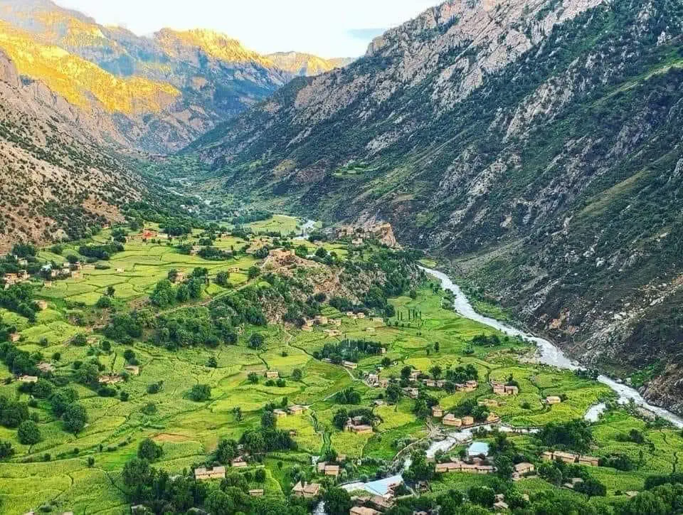
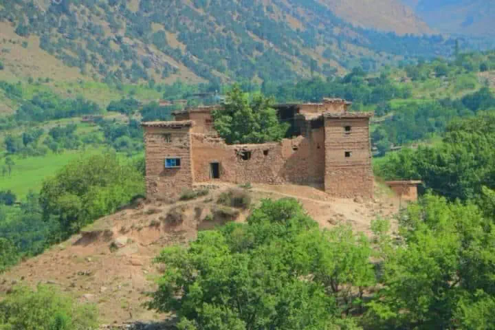
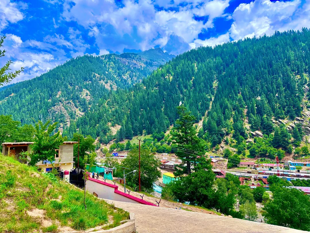
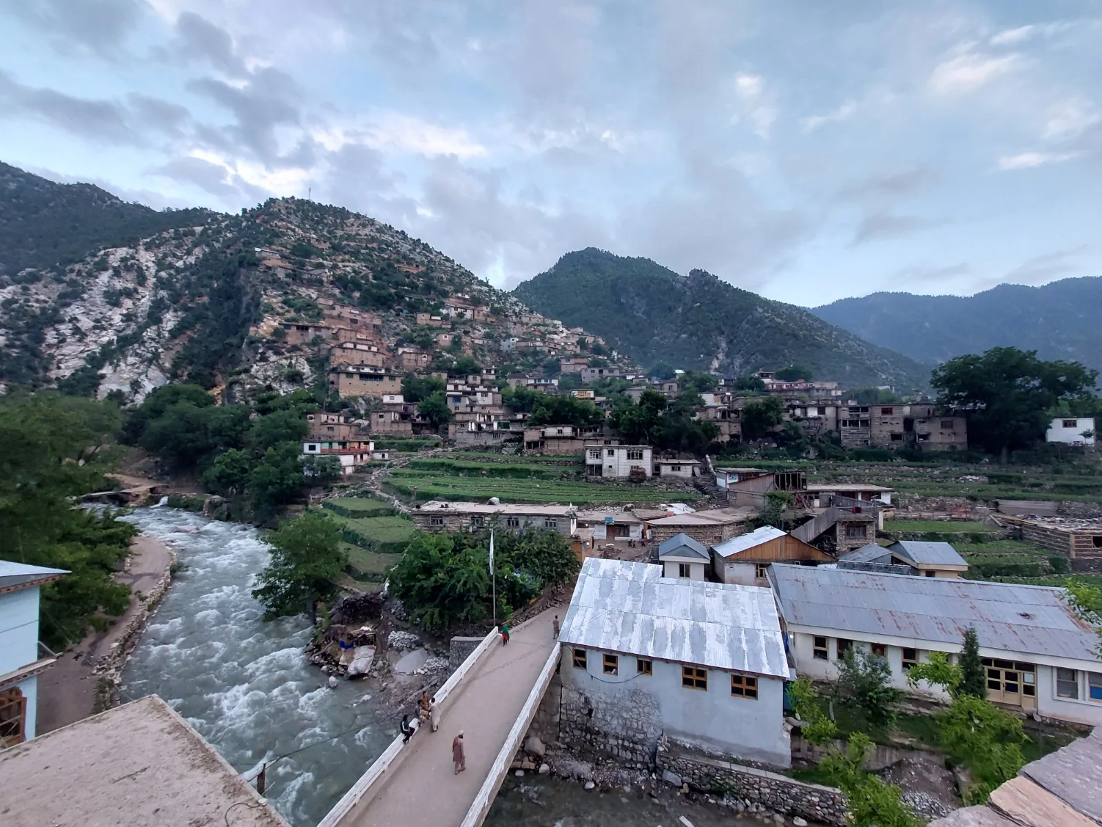
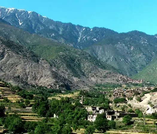
Kantiwa, Ktivi to its own people, is the long valley that runs west from the Parun towards the crest of the Hindu Kush, in the middle of the province. Its river comes down to meet the Parun above Wama, and the villages at the meeting of the two valleys, Mum, Kust and Bun, grew out of the same settlement as Kantiwa itself. A string of villages lines the valley, Kantiwa, Aspit and Mum among them, with the high pastures above and the snow on the crest all summer.
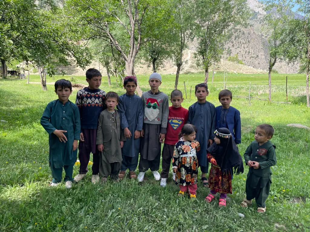
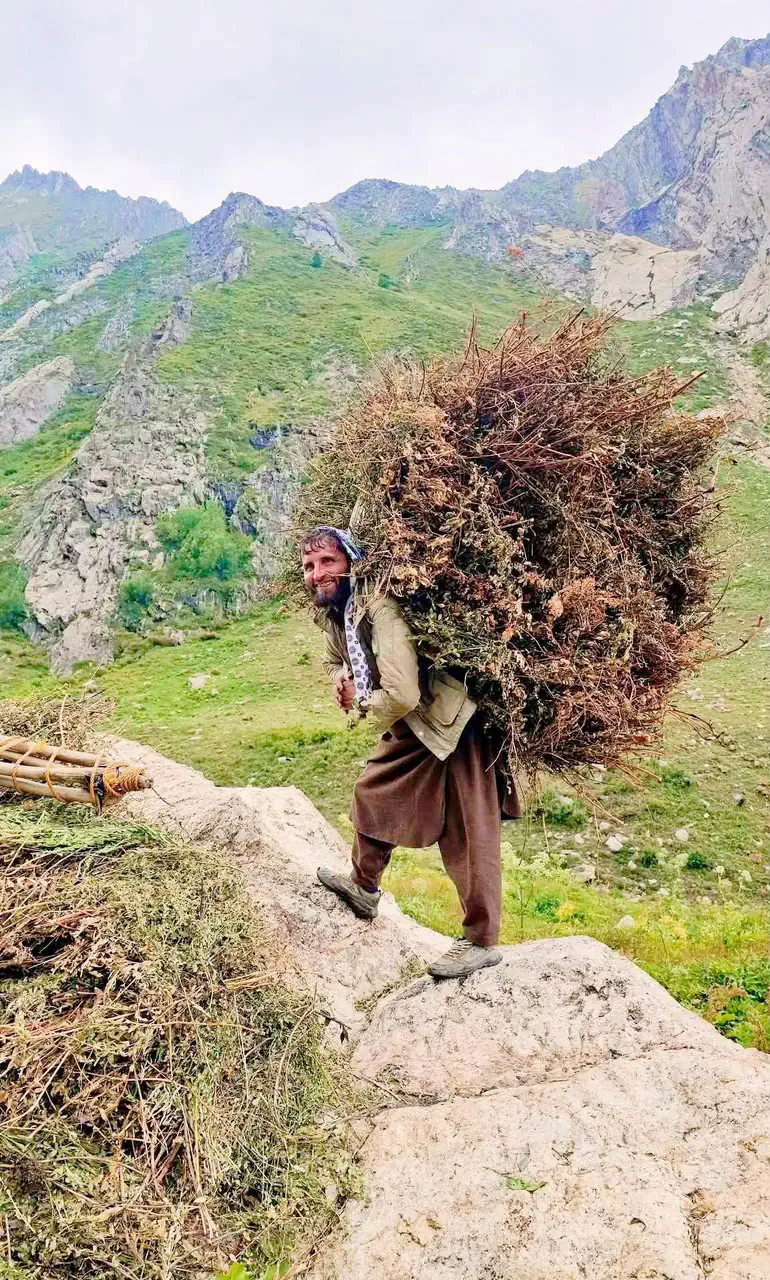
The people are Kata, the largest of the Nuristani peoples, and this is the westernmost of their valleys after Ramgal and Kulam. Richard Strand, who has documented the Nuristani languages since the 1960s, records that the Kata settled Kantiwa and the confluence with the Parun after fleeing Afghan pressure on their older lands, and that the Kshto of Kust, the Mumo of Mum and the Binio of Bun each grew out of that settlement. They speak Western Kata-vari, the dialect that also covers Ramgal and Kulam, which has let go of the nasal vowels the eastern dialects keep; to a Kamdesh ear it sounds a little different, and it is the same language.
Under the valley lies one of the richest pegmatite fields in the Hindu Kush. The Kantiwa pegmatites, in a belt of roughly ten by twenty kilometres, give kunzite, the pink and lilac form of spodumene, along with tourmaline, beryl and aquamarine, and a good part of the Nuristan stones in the world's markets come from here and the valleys around it. The mining is by hand and by families, the roads out are among the province's worst, and the sale of the stones is a story the Invest page tells.
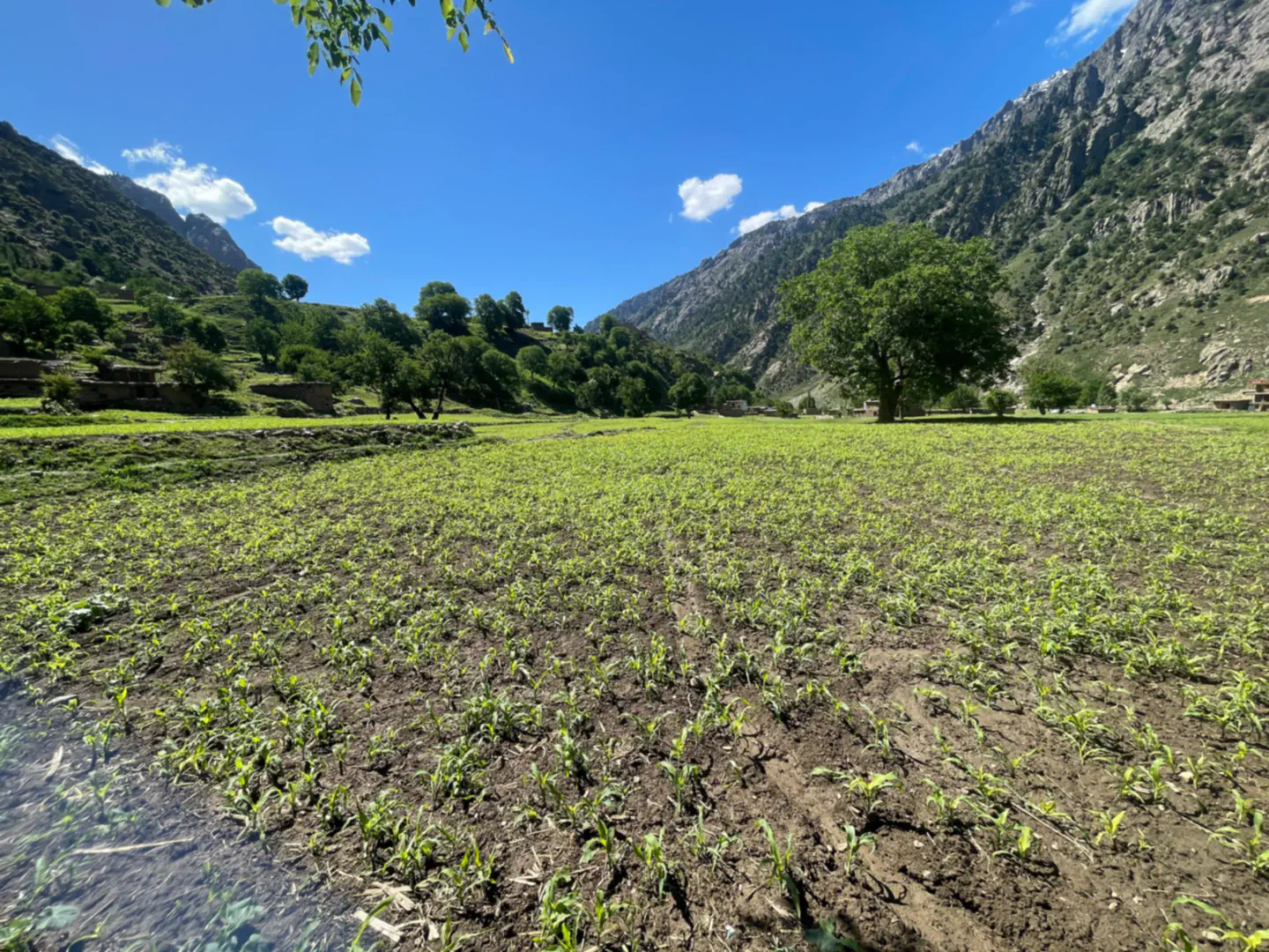
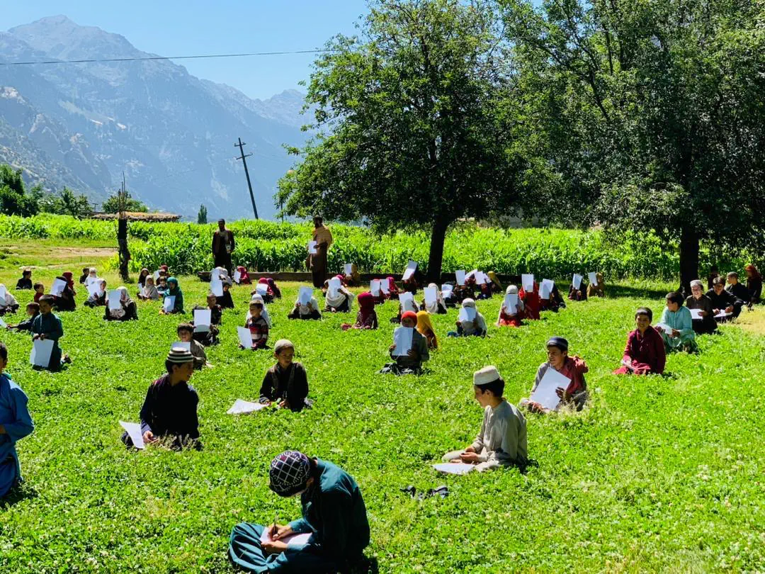
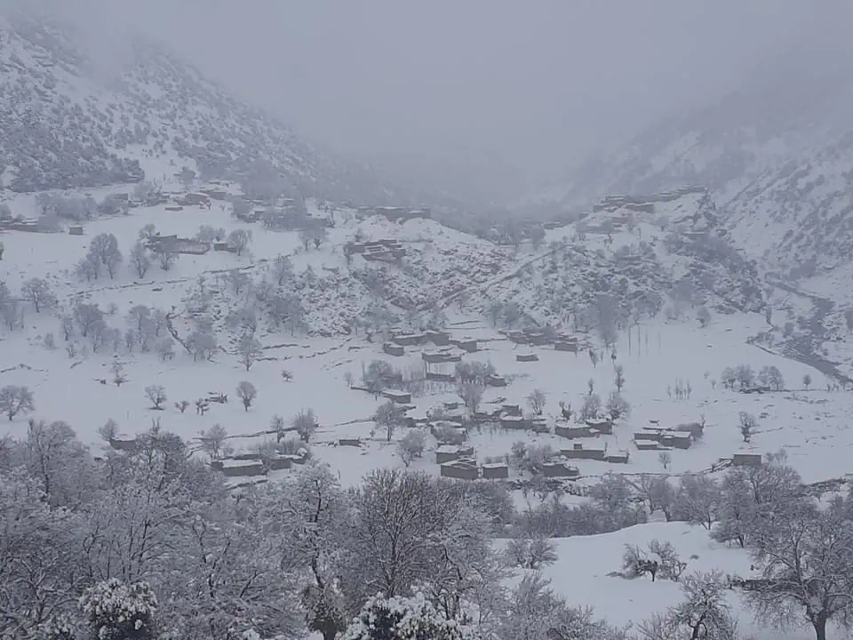
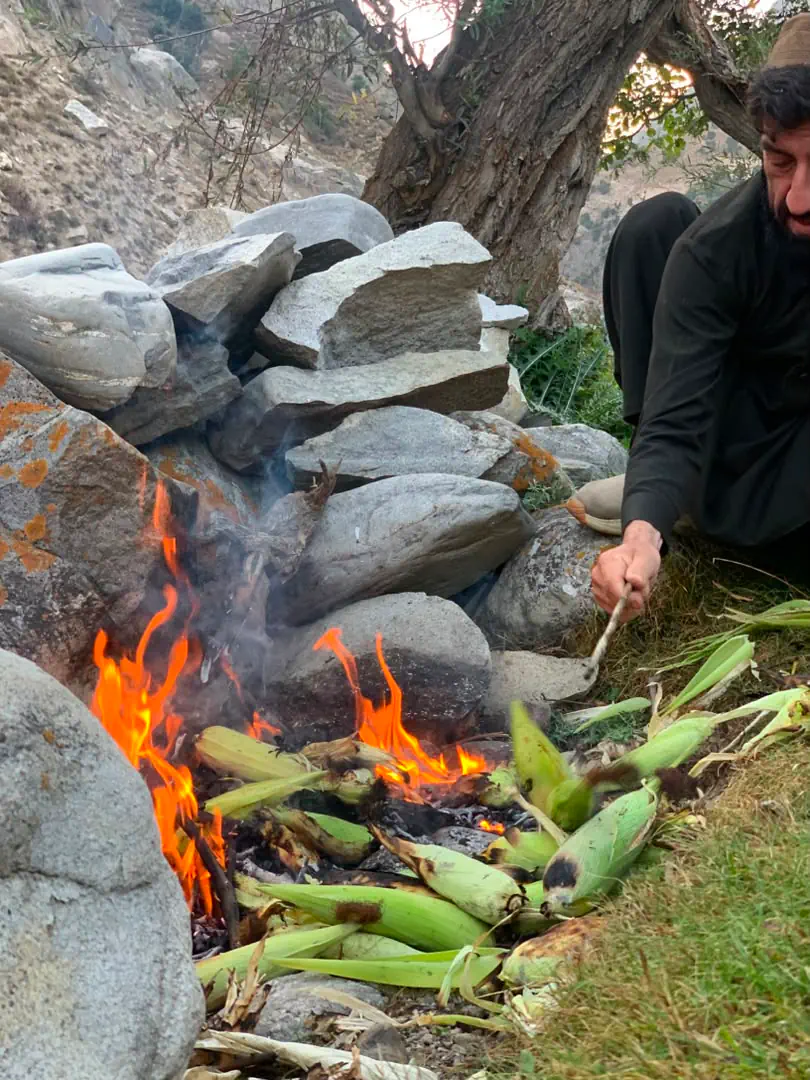
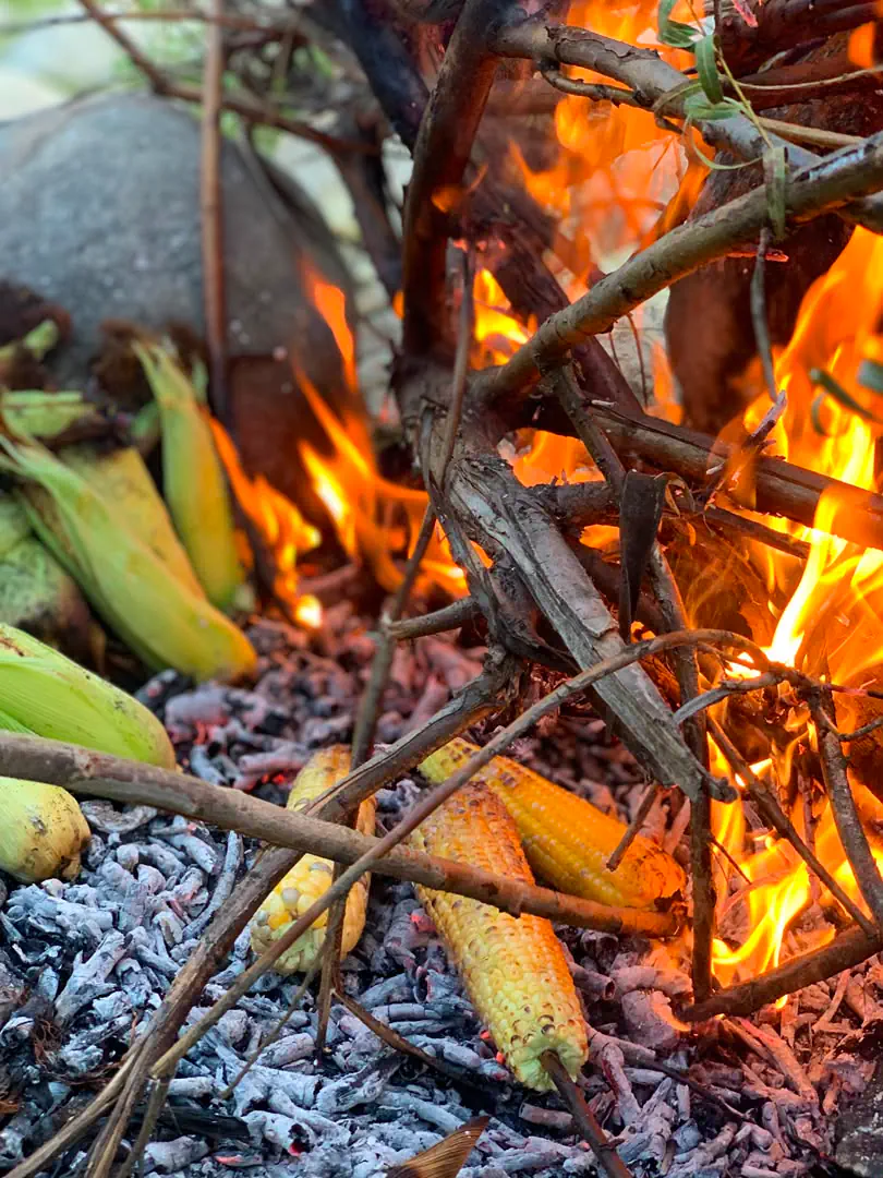
The valley floor is farmed, maize and meadow between the villages, with the mountains rising steeply on both sides. When the maize is fresh, the ears are roasted in the embers of an open fire, a traditional snack across Nuristan. In winter the snow comes down to the valley floor and covers the villages. The schools are short of room, so exams are held outdoors, the children sitting them on the grass.
Kantiwa was administered from Parun for as long as Nuristan has had districts, and the population figure on the Parun page already leaves it out. Since about 2023 it has been a district of its own, with its own district governor, and it appears as Kantiwa district in the news of aid, mining and public gatherings. No official boundary has been published yet, so the line on our map is our own: Kantiwa takes the whole valley of its river down to where it meets the Parun, and the line with Parun follows the ridge between the two.
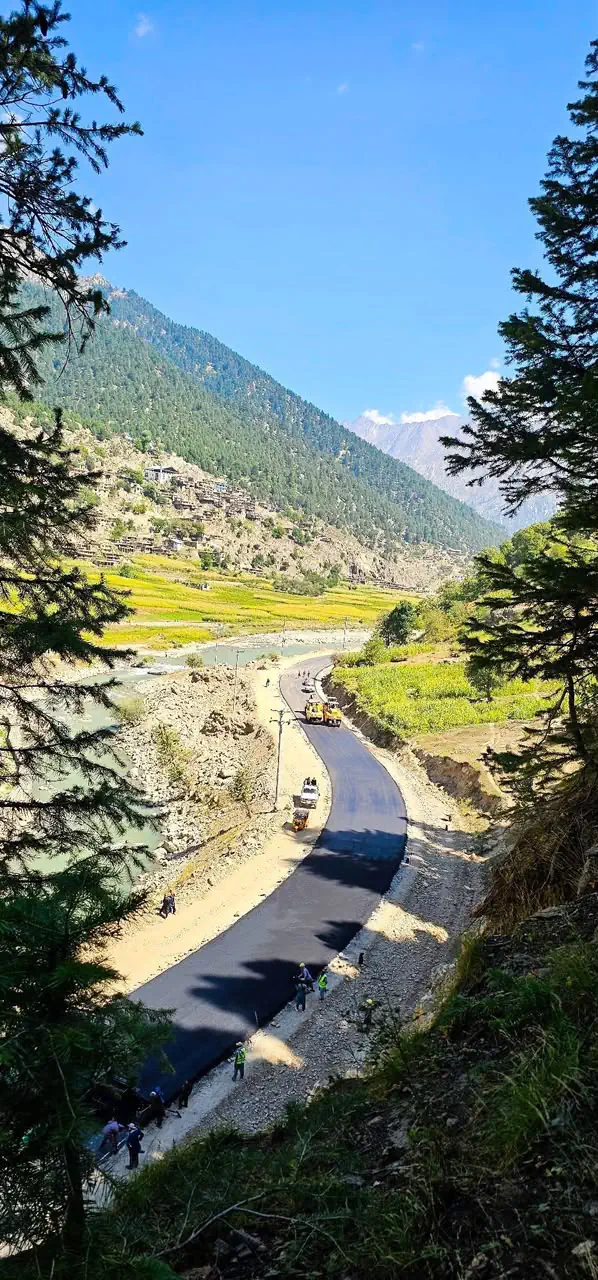
Kantiwa is reached from the Pech road: up from Wama towards Parun and then west into the valley. Asphalt is now being laid on a stretch of the valley road; beyond it the tracks need a capable vehicle and, above the last of them, feet. At the head of the valley the Kantiwa pass leads over the crest into the Munjan valley of Badakhshan, a route of shepherds and traders rather than visitors. Our guides know the way in.
- Setting
- Central Nuristan, the valley west of Parun
- Status
- A district since about 2023, taken out of Parun
- Population
- About 5,000 (2024 estimate)
- People
- Kata
- Language
- Kamkata-viri, the Western Kata dialect
- Known for
- Kunzite and tourmaline, high pastures, the pass to Badakhshan
Other districts of Nuristan
Plan your Nuristan journey
Ready to plan a visit, source Nuristani products, or discuss an investment? Your message goes to Obaid, who is from Nuristan, and his team in Afghanistan and the UK. We reply to every message.