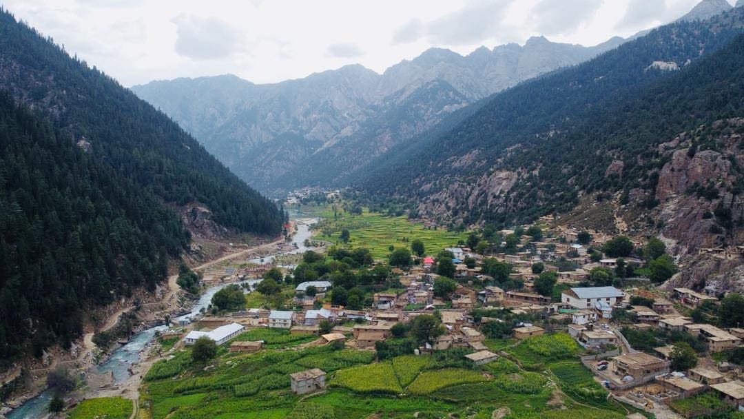
The green corner of Afghanistan
Monsoon forests of cedar and pine, bears and markhor in the woods, snow leopards on the ridges, four rivers and a national park still waiting to be drawn on the ground.
The one province the monsoon reaches
Most of Afghanistan is dry. Nuristan is not, and the reason is the monsoon. The eastern Hindu Kush is the one part of the country that the summer rains from the Indian Ocean reach, and they fall on slopes that also catch heavy winter snow. Water from both feeds the forests that cover the valley sides and the rivers that run through them, and it is why a province a hundred kilometres from Kabul looks like a different country.
The same water is the province's danger. The steep catchments that grow the forests also funnel a cloudburst into a flash flood within hours, as Parun learned in July 2026.
- Range
- Eastern Hindu Kush
- Average height
- About 3,400 metres
- Rain
- Summer monsoon, unique in Afghanistan
- Forest
- Cedar, pine, oak, fir and spruce
- Rivers
- Alingar, Pech, Parun, Landai Sin
- Big animals
- Black bear, markhor, wolf, snow leopard
- National park
- Announced 5 June 2020
- Best months
- May to June, September to October
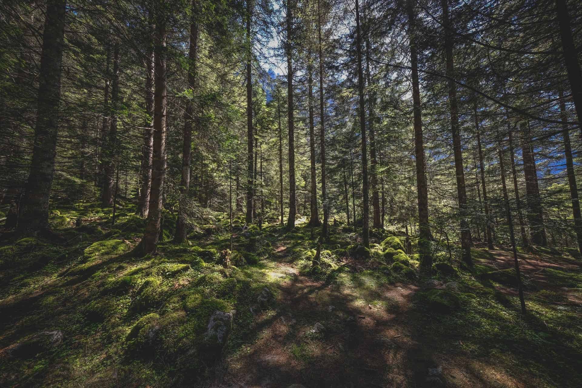
Cedar, pine, oak, fir and spruce
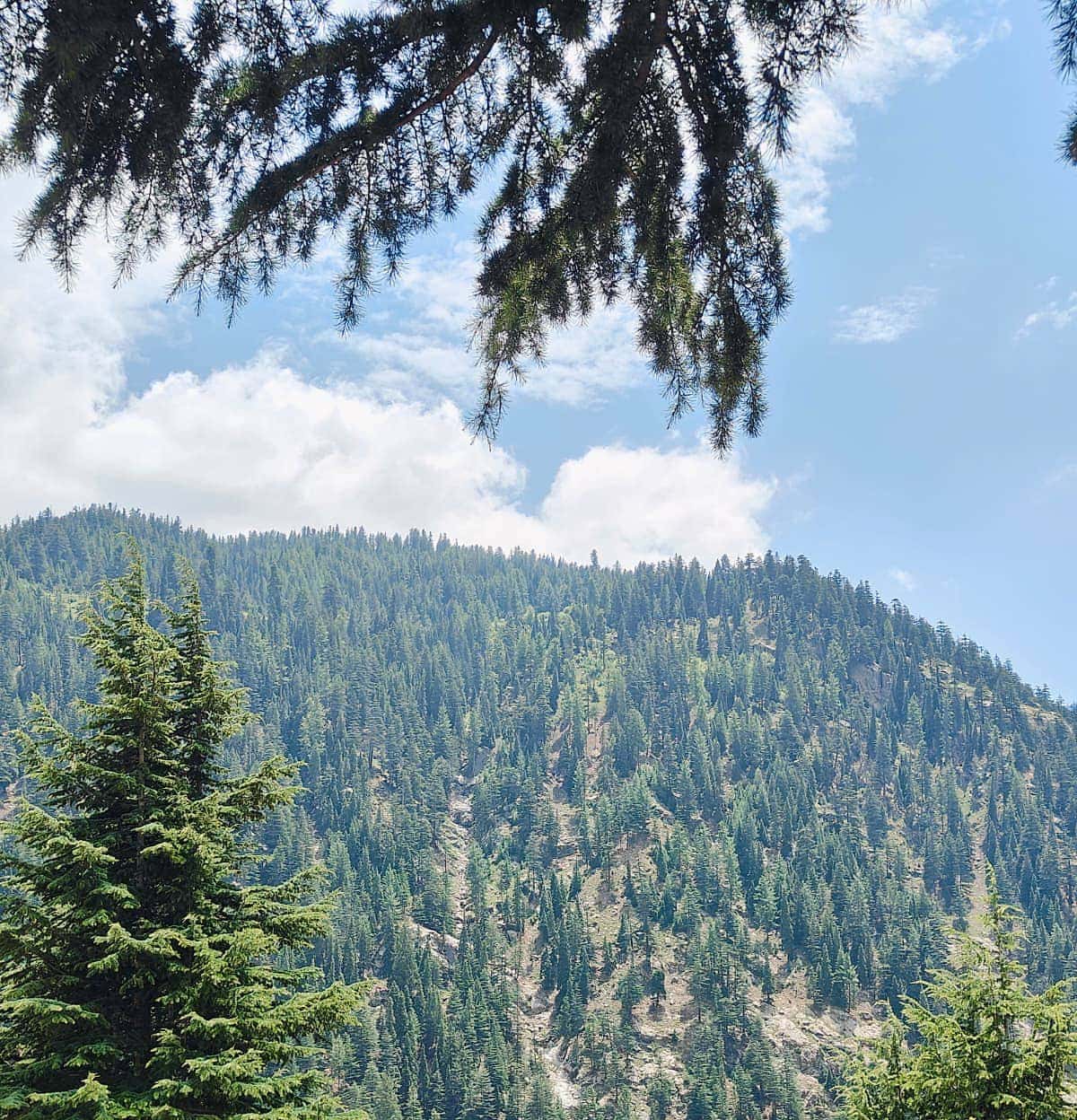
Nuristan and neighbouring Kunar hold most of the conifer forest that Afghanistan has left. The great tree is the deodar, the Himalayan cedar, which grows straight and tall on the middle slopes and gives the timber for every carved column and tiered house in the province. Below it grow chir pine and holly oak, on the warm lower slopes; alongside and above it, blue pine, West Himalayan fir and spruce, up to a treeline of birch and juniper. In the villages stand walnuts and mulberries, and in spring the forest floor gives up the morel mushrooms that families gather and dry for sale.
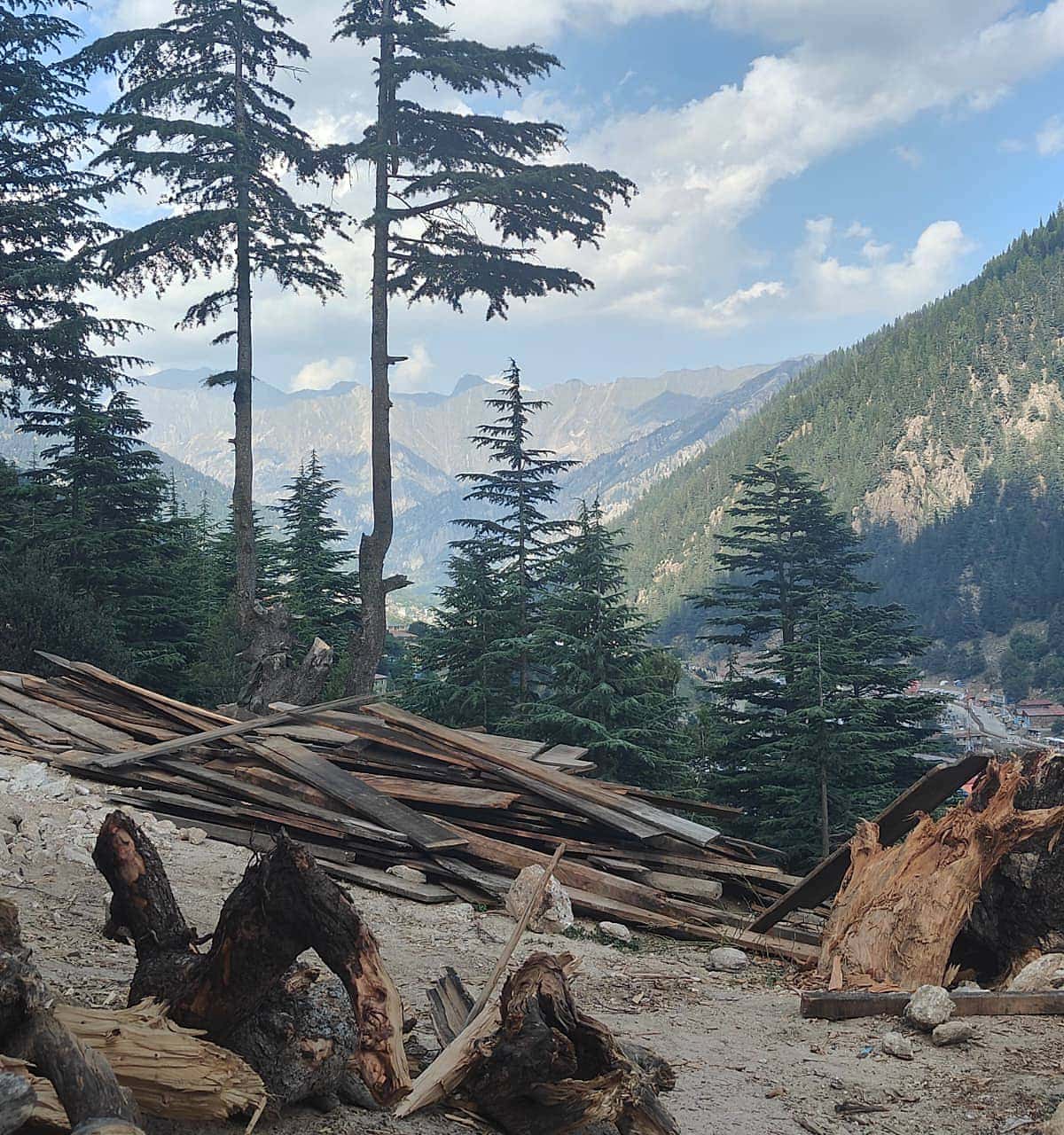
The forest has been cut hard. Through the 1990s and 2000s timber was felled and trucked over the border in quantities no one counted, and the scars on the slopes are still visible. The old villages were built from these trees; whether the next generation can build the same way depends on what is left standing.
What the cameras found
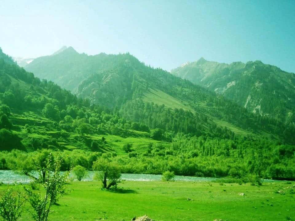
Bears in the forest, snow leopards on the ridge
The best account of Nuristan's animals comes from a field survey run between 2006 and 2009 across about 1,100 square kilometres of the southern and central province, the first in thirty years. Using camera traps, transects and DNA from droppings, it confirmed that the big mammals had survived the war. The Asiatic black bear was found throughout the forest: eighteen animals were seen and dozens photographed. Markhor, the great spiral-horned wild goat, still held the crags. Grey wolves, leopard cats, yellow-throated martens, red foxes, crested porcupines and rhesus macaques were all recorded, along with the first common palm civet ever documented in Afghanistan.
Higher and further east, in Bargi Matal and Kamdesh, snow leopards have been confirmed on the ridges, which is the reason the national park was drawn there. Brown bears reach the highest pastures. The markhor, the ibex and the horns they carry are the oldest motif in Nuristani carving, and the reason the goat was sacred in Kafiristan.
Four rivers, all running south
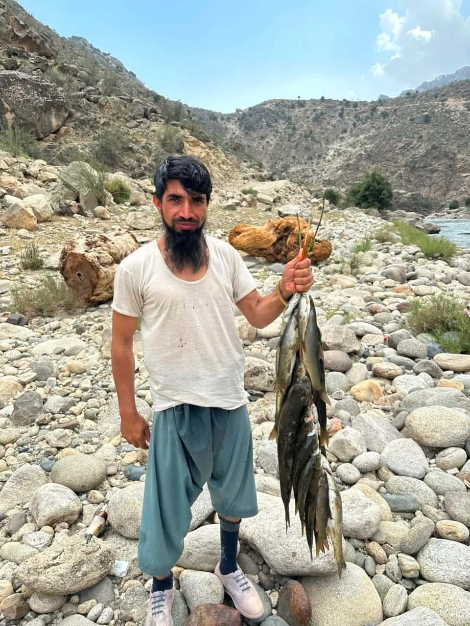
Alingar, Pech, Parun and Landai Sin
Four rivers drain the province, all of them southward to the Kunar and the Kabul. The Alingar gathers the western valleys of Du Ab and Mandol and runs down through Nurgaram to Laghman. The Pech takes the water of Parun and Wama to Asadabad. The Waygal joins it at Nangalam. The Landai Sin, the river of the Bashgal, comes down past Bargi Matal and Kamdesh to meet the Kunar near the border. Above them, in the high side valleys, small lakes of glacial meltwater lie in the rock, turquoise in summer and frozen for half the year.
The rivers are the province's roads, its irrigation, its fishing and its power, and in July and August its greatest risk. Every road in follows one of them.
Announced in 2020, still on paper
On 5 June 2020, World Environment Day, the Afghan government announced Nuristan National Park, the country's third after Band-e Amir and Wakhan. It covers around 5,700 square kilometres of the eastern districts of Bargi Matal and Kamdesh, chosen for the snow leopard and the forest. A detailed management plan and the formal gazetting of the boundary were still to follow when the government changed in 2021, and the park exists today more on paper than on the ground. The forest and the animals do not know that, and neither do the villagers who have lived alongside them for a thousand years.
Logging, hunting and the weather
Three things threaten Nuristan's nature. Logging, which has already taken much of the accessible forest and continues where there is a road and a buyer. Hunting, which pressures the markhor and the bear in a province where a rifle is an ordinary possession. And the weather, which is getting less predictable: the monsoon bursts of July and August come harder onto slopes that hold less forest to slow them, and the floods of 2021, 2024 and 2026 are the result. Protecting the forest and protecting the villages below it are the same job.
Walking in the forests
You can walk in these forests. The valleys of Waygal and Kamdesh have paths between villages through cedar and oak, the high side valleys of Parun open to summer pasture and lakes, and the Pech gorges are a day's drive of rock and water. Go in May and June for the green and the meltwater, or in September and October for clear air and the walnut harvest, and go with a guide from the province, who knows which paths are open and which villages expect you.
Asked about Nuristan's nature
Does Nuristan have forests?
Yes. Nuristan and neighbouring Kunar hold most of the conifer forest left in Afghanistan: deodar cedar, blue pine and chir pine, holly oak, fir and spruce. Much has been logged since the 1990s, but the valley sides are still forested.
What animals live in Nuristan?
A 2006 to 2009 survey confirmed Asiatic black bear, markhor, grey wolf, leopard cat, yellow-throated marten, red fox, crested porcupine and rhesus macaque, and recorded the first common palm civet in Afghanistan. Snow leopards are confirmed on the high ridges of Bargi Matal and Kamdesh, and brown bears reach the highest pastures.
Is there a national park in Nuristan?
Nuristan National Park was announced on 5 June 2020 across about 5,700 square kilometres of Bargi Matal and Kamdesh, Afghanistan's third national park. Its management plan and formal boundary were still pending when the government changed in 2021.
Why is Nuristan so green when the rest of Afghanistan is dry?
Because the summer monsoon reaches the eastern Hindu Kush and nowhere else in the country. Monsoon rain plus heavy winter snow keeps the forests and rivers alive.
Can you visit Nuristan's forests and mountains?
Yes, between roughly April and October, with a local guide. The Waygal and Kamdesh valleys have forest paths between villages; Parun opens onto high pasture and lakes. See our page on how to get to Nuristan.
On this site
- How to get to Nuristan
- The eight districts
- The Nuristan flood of July 2026
- Gucchi morels, walnuts and the produce of the forest
- Stevens, Rosen, Wingard and others, Large mammals surviving conflict in the eastern forests of Afghanistan, Oryx (2011)
- Mongabay, June 2011: Wildlife survives warfare in eastern Afghanistan
- Wikipedia: Nuristan National Park
- Global Snow Leopard and Ecosystem Protection Program: Afghanistan
- Wikipedia: East Afghan montane conifer forests
- Wikipedia: Nuristan Province
Plan your Nuristan journey
Ready to plan a visit, source Nuristani products, or discuss an investment? Your message goes to Obaid, who is from Nuristan, and his team in Afghanistan and the UK. We reply to every message.