Nuristan · Eastern Afghanistan
Nuristan, the Land of Light
A remote province in the eastern Hindu Kush, with its own languages, architecture and crafts. A guide to its land, history and people, written by someone who calls it home.
35.3° N · 70.9° E
Orientation
Where is Nuristan?
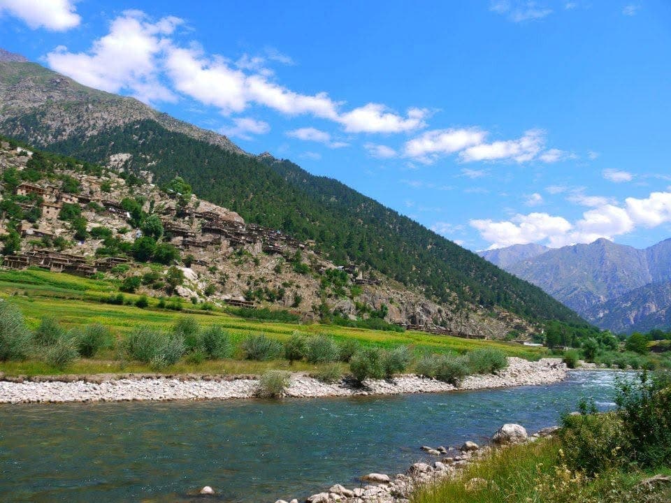
Nuristan is a remote corner of eastern Afghanistan, high on the southern side of the Hindu Kush. Its deep valleys run down from snow peaks towards the Kunar and Laghman lowlands, and the high passes along its eastern edge cross into the Chitral region of Pakistan.
For most of its history those mountains kept the province apart. That long isolation is the reason Nuristan still has its own languages, its own way of building, and crafts found nowhere else in the country.
Nuristan
35.3° N · 70.9° E
Ringed by mountains, Nuristan borders four Afghan provinces and meets Pakistan to the east. Hover or tap a neighbour to explore.
- Population
- About 175,500 (2024 estimate)
- Mountains
- Hindu Kush
- Capital
- Parun
- Districts
- Eight
- Languages
- Five, with many dialects
- Former name
- Kafiristan
- A province since
- The 1980s, enlarged 1993
- Best months
- April to October
Antiquity to today
A short history
From Kafiristan to the Land of Light
The name Nuristan is little more than a century old, and the story behind it explains much of what makes the province distinct today.
Antiquity
The land called Kafiristan
For centuries the region was known as Kafiristan, the land of the unbelievers. Closed in by high passes, its valleys kept an ancient polytheistic religion and a way of life found nowhere else.
1895 to 1896
Conversion and a new name
After a winter campaign by Amir Abdur Rahman Khan, the population adopted Islam, and in 1896 Kafiristan was renamed Nuristan, the land of light. Much of the older culture endured.
20th century
Apart by geography
Through decades of change in Afghanistan, the terrain kept Nuristan separate. Its languages, crafts and architecture survived where roads and outside rule rarely reached.
1980s to 1993
A province in its own right
A smaller Nuristan province was first carved out in the 1980s, then enlarged in 1993 with its capital at Pashki in the Parun valley. Before that its valleys had been governed as parts of Kunar and Laghman, and the district map was redrawn again in 2004.
2001 to today
Closed by war, opening again
The long wars that followed did not spare Nuristan, and for years the valleys were all but closed to outsiders. The province is quieter now than it has been in decades, and the first visitors are returning, travelling with local guides.
Nine plates
From the family album
Photographs no archive holds
Snapshots from the valleys, taken by family and friends. Not studio work, and that is the point: this is what the province looks like to the people who live in it.
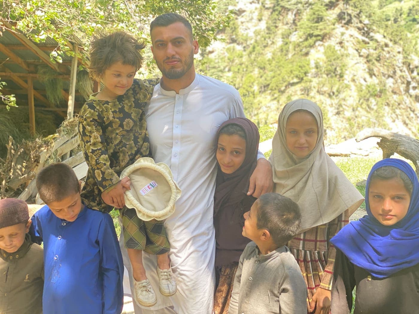
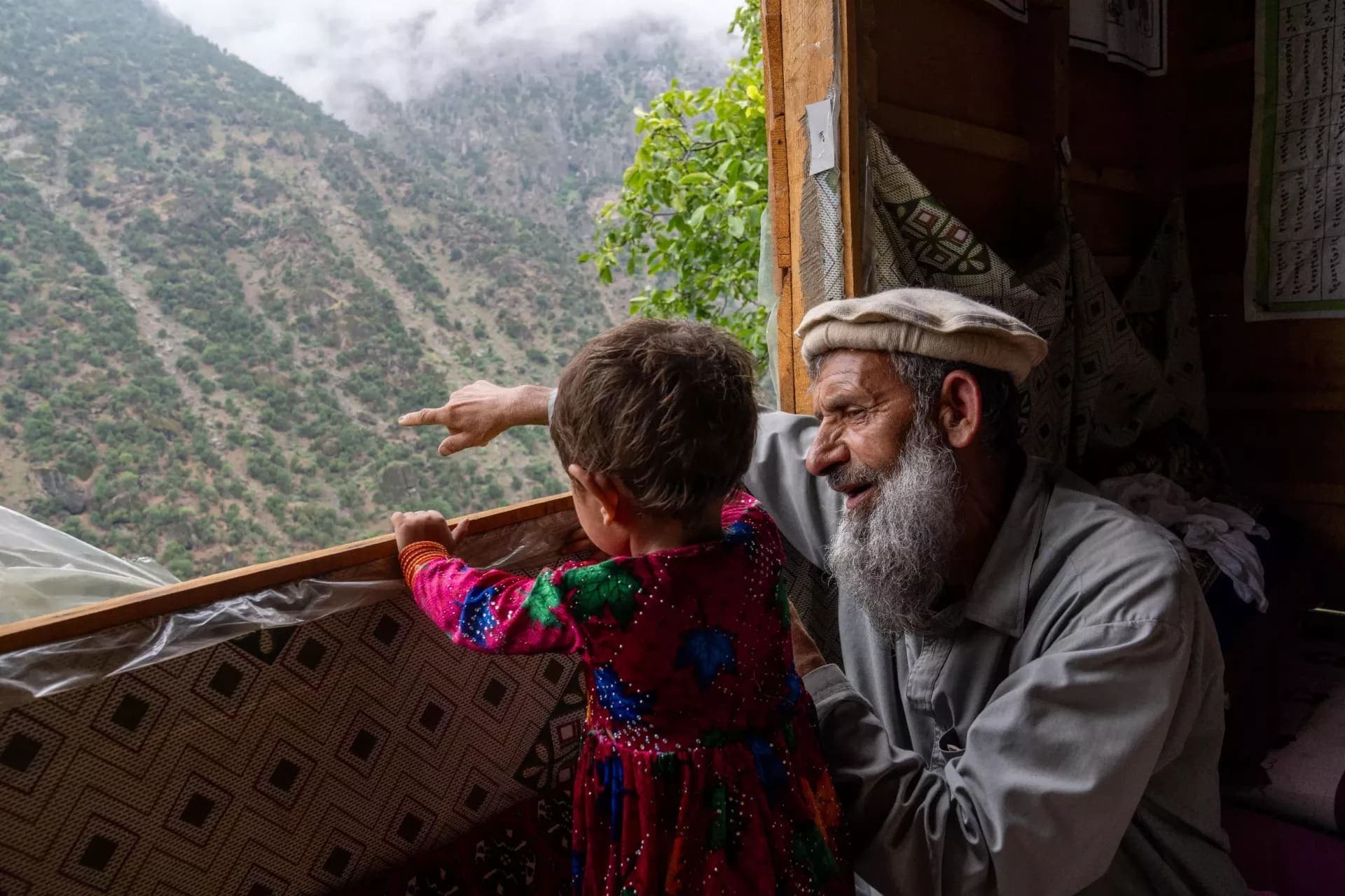
Plate IVillage children 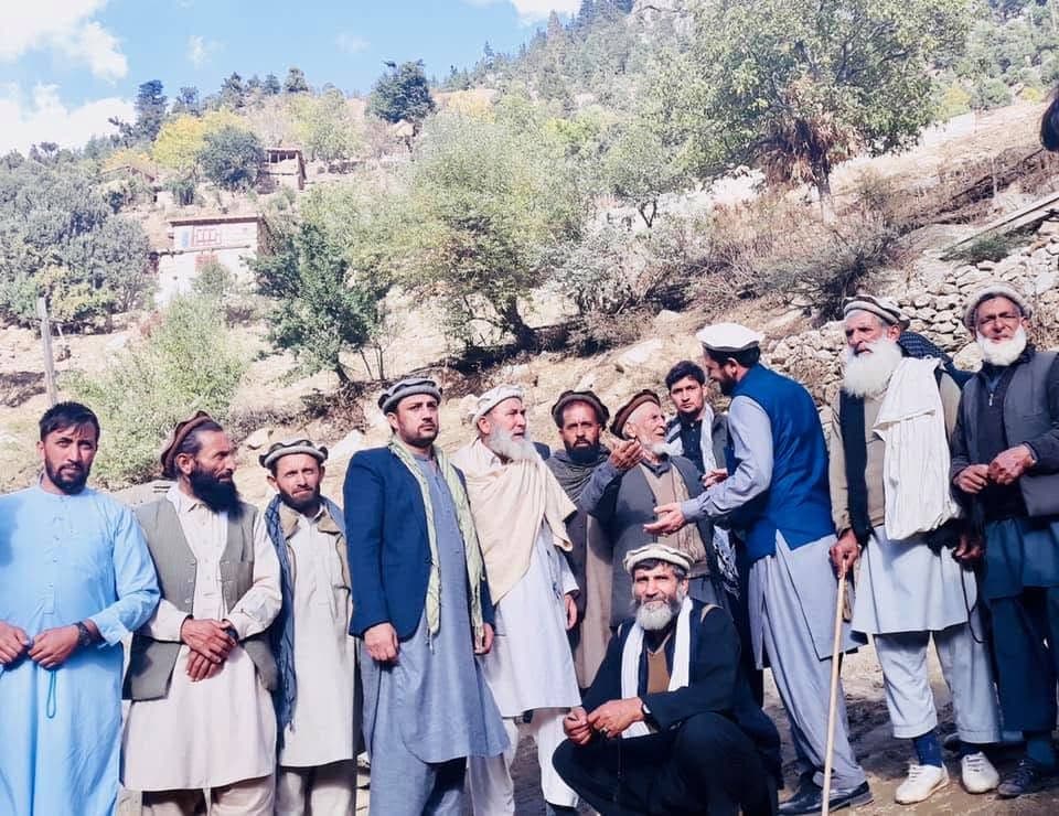
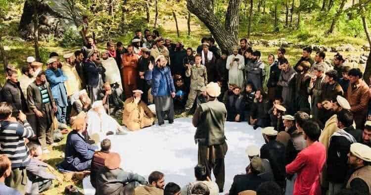
Plate IIElders gather on the hillside 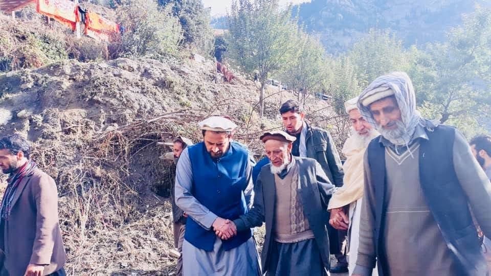
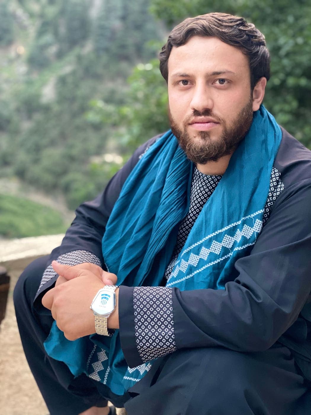
Plate IIIObaid with village elders 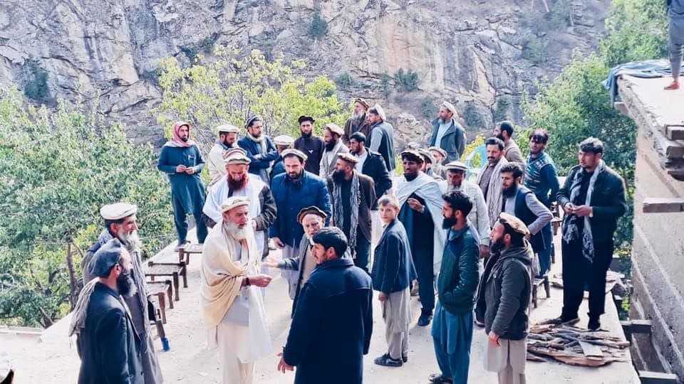
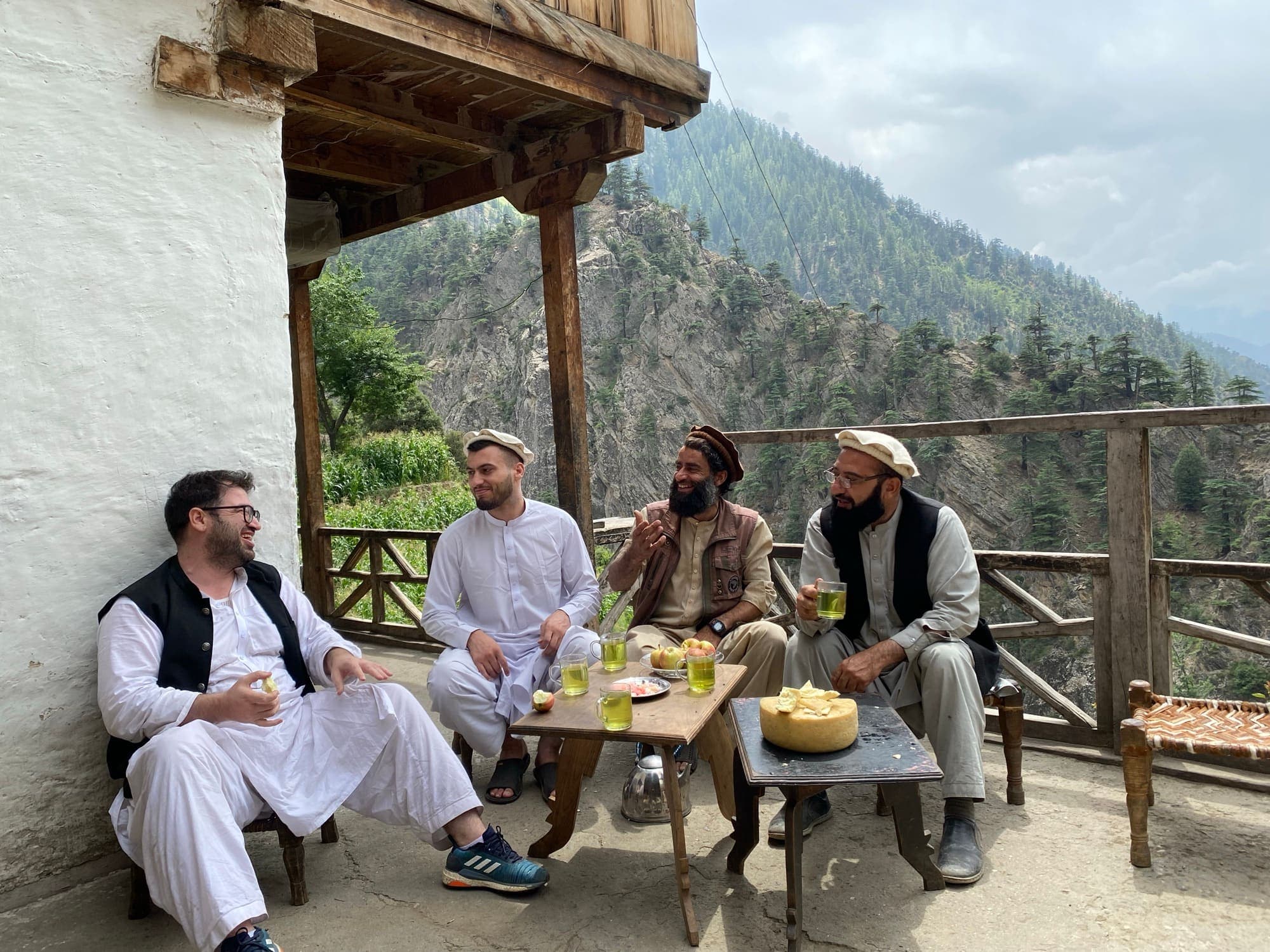
Plate IVA gathering outside a timber house 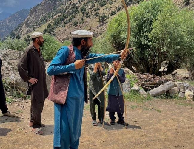
Plate VPractising with the long wooden bow 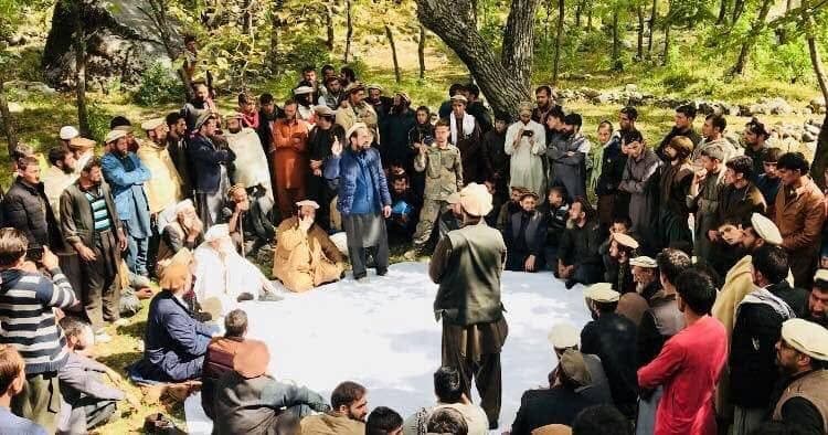
Plate VIA village jirga 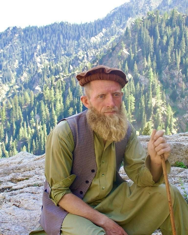
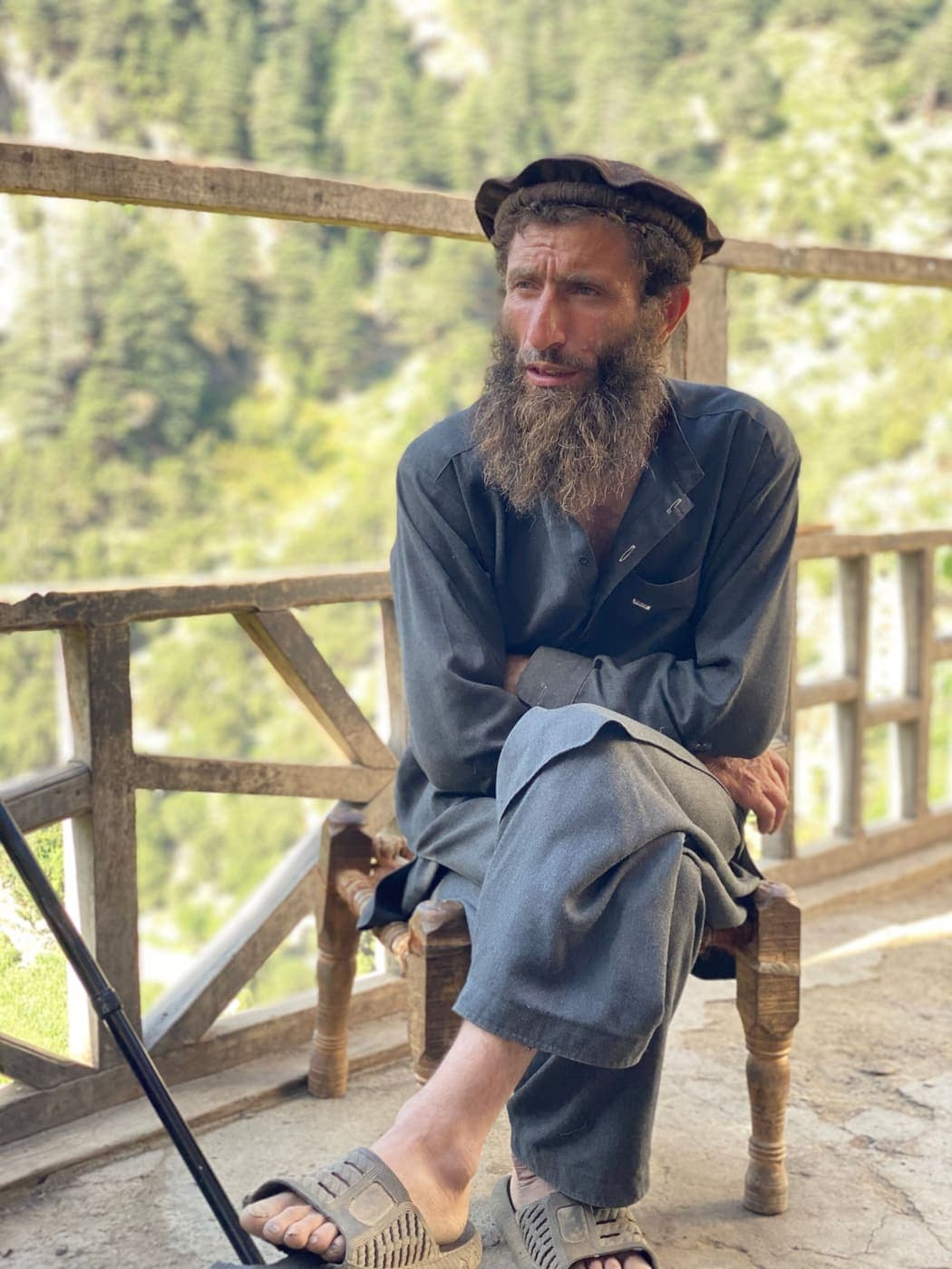
Plate VIIAn elder in the high valleys 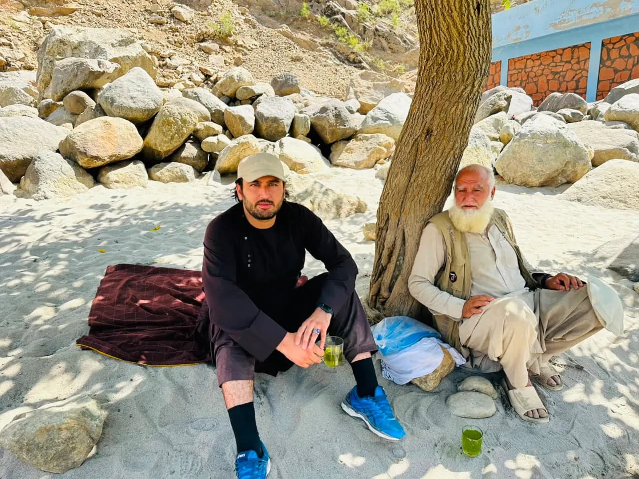
Plate VIIIGreen tea in the riverside shade 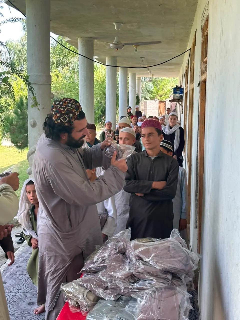
Plate IXDistributing clothes to children
Six pillars
A living culture
The culture of Nuristan
Language, building, dress and food that set the province apart, shaped by centuries in the mountains.
Its own branch
A language of its own
The Nuristani languages
Little sets Nuristan apart more clearly than how its people speak. The Nuristani tongues are not a dialect of Persian or Pashto. They form their own branch of the Indo-Iranian family, beside the Iranian and Indo-Aryan branches, and most are carried by speech rather than writing. Five languages are usually counted, but that undersells the variety: speech shifts from valley to valley, often village to village.
Indo-Iranian family
Iranian
NuristaniIts own branch
Indo-Aryan
Five living languages
Kamkata-viri
Kamdesh & the east
Kalasha-ala
Waygal valley
Ashkun
South-western valleys
Tregami
Tregam, near Kamdesh
Prasun
Parun valley
Five is the count usually given, but it understates the variety. From valley to valley the speech shifts: sometimes into a distinct tongue, sometimes only an accent, and a few so different that neighbours can barely follow one another. Kamkata-viri alone spans Kata-vari, Kamviri and Mumviri. Cut off from each other by the mountains for generations, every valley grew its own words and customs.
Eight woven marks
The land
Eight districts in the Hindu Kush
Forests of cedar and pine, glacial rivers and terraced valleys. Each district has its own scenery, dialect and pace of life, and here, its own woven mark.
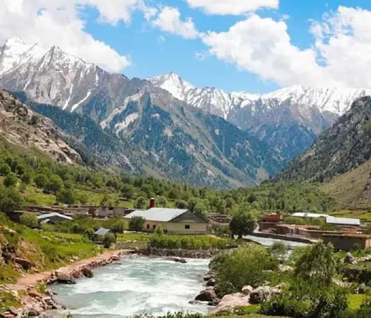
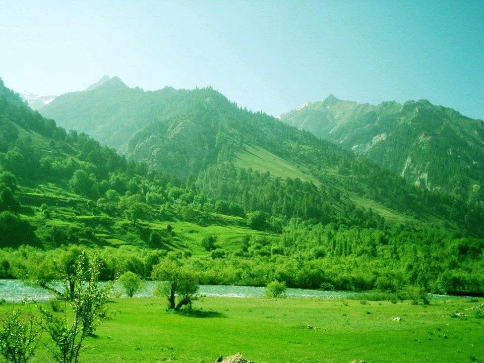
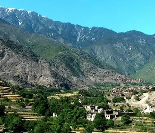
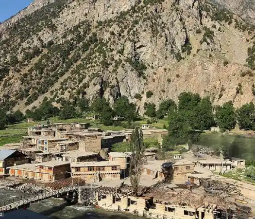
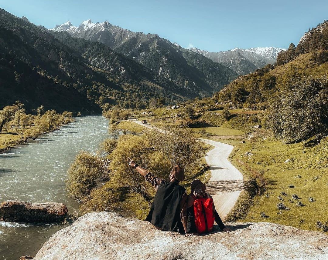
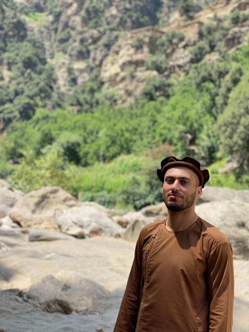
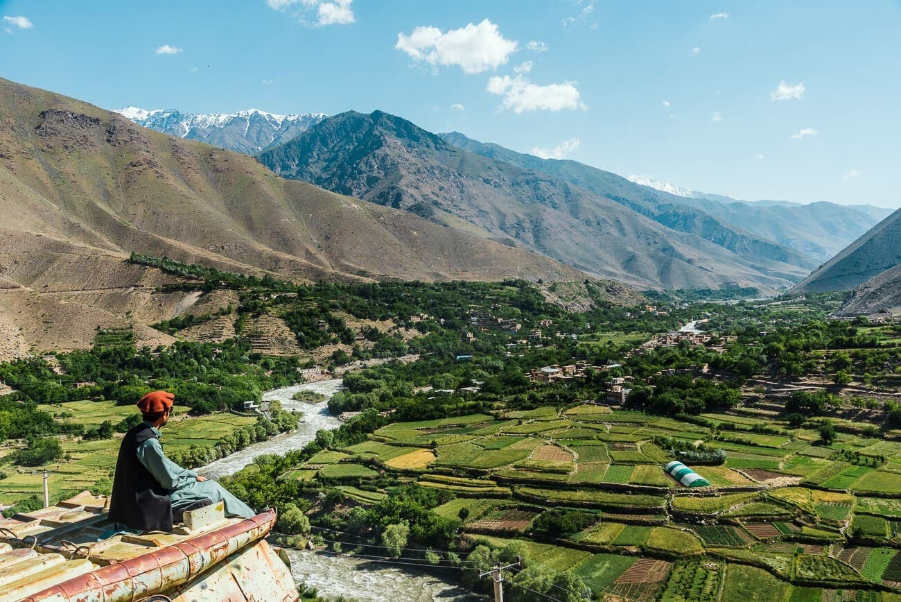
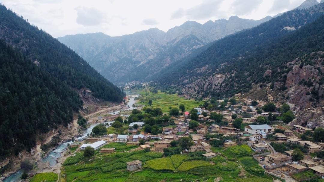
Eight districts. Five languages. One range of mountains.
In his own words
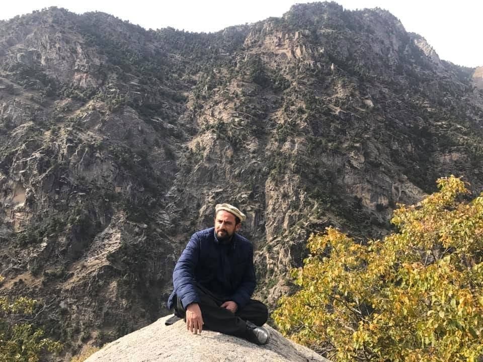
A letter from the valley
I was born in Nuristan. Most of what the world reads about my home was written by people who have never stood in its valleys, and this site is my attempt to put that right.
The photographs here come from the province and from my own family and friends. The facts are the ones we grew up with, checked against the record. Where something is uncertain, we say so.
If Nuristan calls to you, whether to visit it, to buy what its makers produce, or to invest in its future, write to me. I read every message.
Obaid Nuristani
Founder, born in Nuristan
Visit · Trade · Invest
Get involved
Three ways to experience Nuristan
Reading about the province is a start. When you are ready to go further, we help arrange each of these.
The reading list
From the journal
Reading on Nuristan
Guides and background on the culture, history and landscape of the province.
 Culture & Traditions
7 min read
Exploring the Rich Culture and Traditions of Nuristan
From mountain festivals to age-old crafts, step inside the customs and way of life that make Nuristan one of Afghanistan's most distinctive provinces.
Read moreTravel Guides6 min read
Sustainable Tourism: Experience Nuristan Responsibly
Nuristan's beauty is also its fragility. Here is how to travel through the province in a way that protects its landscapes and benefits its communities.
Read more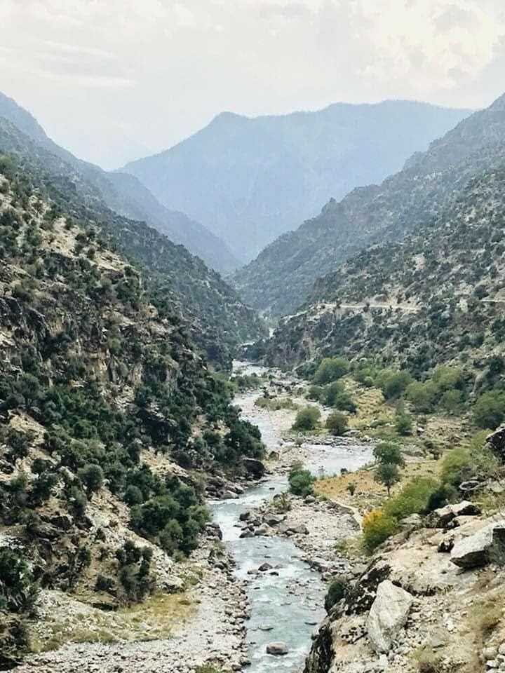 Travel Guides
8 min read
Your Ultimate Guide to Nuristan Adventure Tours
Mountain treks, river valleys and historic villages: everything you need to plan an unforgettable adventure tour in Nuristan.
Read more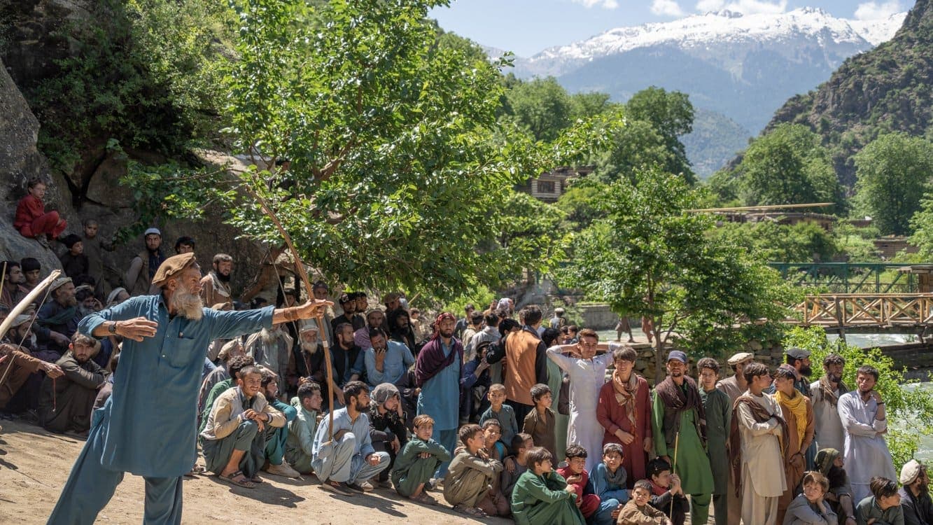 Historical Landmarks
7 min read
The Cultural Richness of Nuristan's Traditions
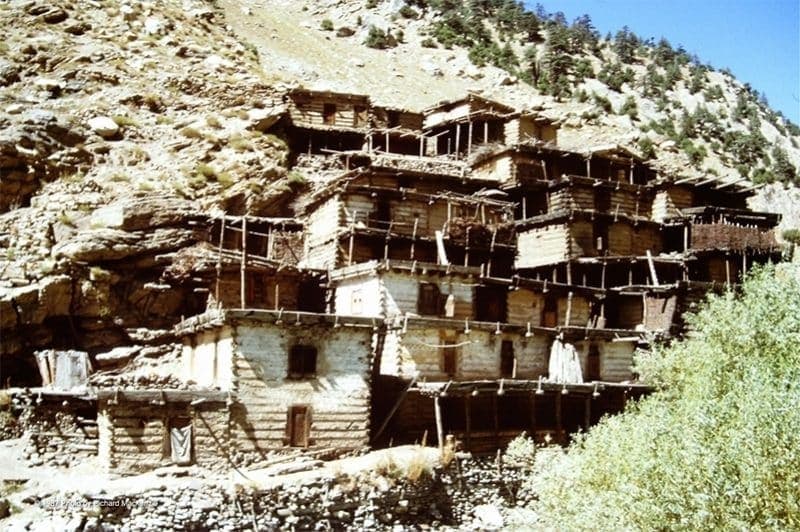
The wooden villages, the long bows, the carved cedar and the story of Kafiristan. A closer look at the traditions and landmarks that define Nuristan.
Read moreSeven answers
Good to know
Common questions about Nuristan
Where is Nuristan?
Nuristan is a province in eastern Afghanistan, on the southern slopes of the Hindu Kush. It borders Kunar, Laghman, Panjshir and Badakhshan, and meets Pakistan's Chitral region to the east.
What does the name Nuristan mean?
Nuristan means the land of light. The province was called Kafiristan, the land of the unbelievers, until its people adopted Islam in the 1890s and the name was changed.
What languages are spoken in Nuristan?
The Nuristani languages form their own branch of the Indo-Iranian family. Five are usually counted: Kamkata-viri, Kalasha-ala, Ashkun, Tregami and Prasun, known natively as Wasi-weri. Speech shifts markedly from valley to valley and village to village, and most varieties are passed on by speech rather than writing.
What is Nuristan known for?
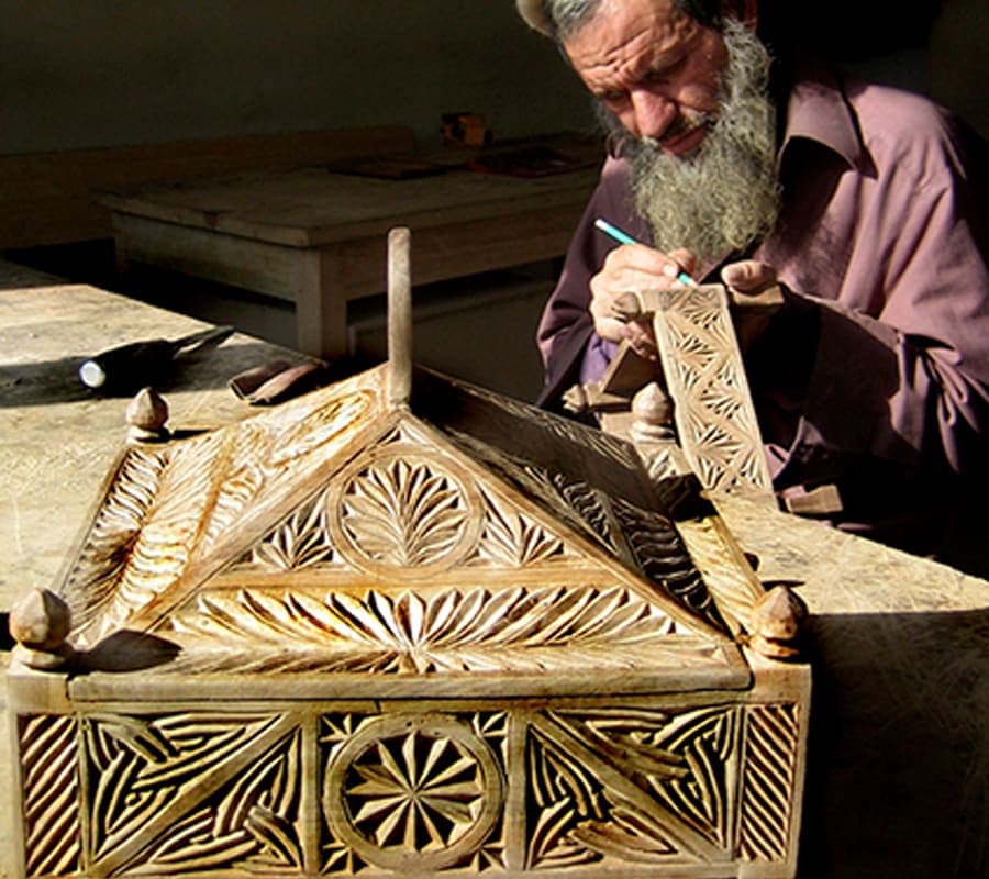
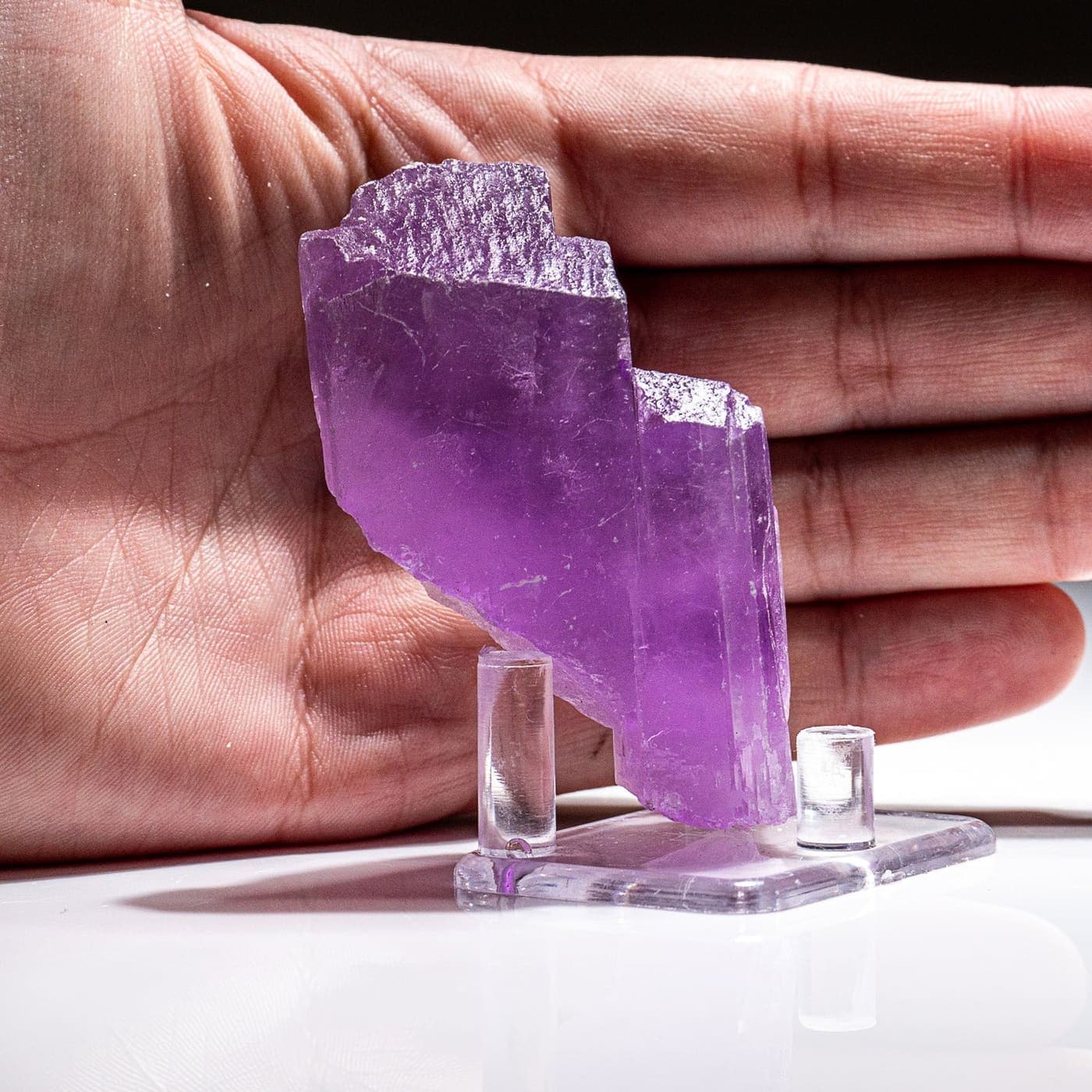
Tiered timber villages, dense cedar and pine forests, wood-carving and embroidery, the rolled-wool pakol hat, and produce such as walnuts, morel mushrooms and gemstones.
When is the best time to visit Nuristan?
Roughly April to October, when the high passes are open and the weather suits travel. Winter closes much of the province with snow.
How do you get to Nuristan?
Most journeys start in Kabul and head east through Laghman and Kunar before climbing into the valleys on rough mountain roads. A capable vehicle and an experienced local guide are essential.
Is it safe to visit Nuristan?
Afghanistan is quieter than it has been for decades, but every journey still needs care and honest planning. We arrange trips around the season and current conditions, travel with local guides and family networks, and will say plainly if a visit should wait. Check your government's latest travel advice before you commit.
Get in touch
Plan your Nuristan journey
Ready to plan a visit, source Nuristani products, or discuss an investment? Your message goes to Obaid, who is from Nuristan, and his team in Afghanistan and the UK. We reply to every message.