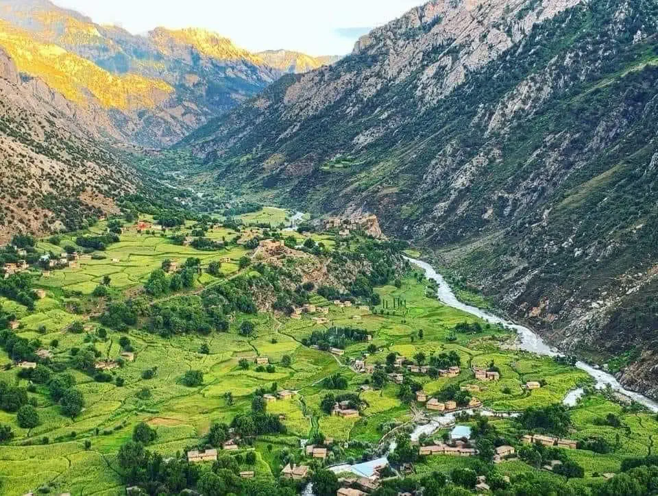
The ten districts of Nuristan
Ten districts across the steep valleys of the eastern Hindu Kush, from the warm lower country of Nurgaram to the high valleys of Parun and Bargi Matal. A guide to each.
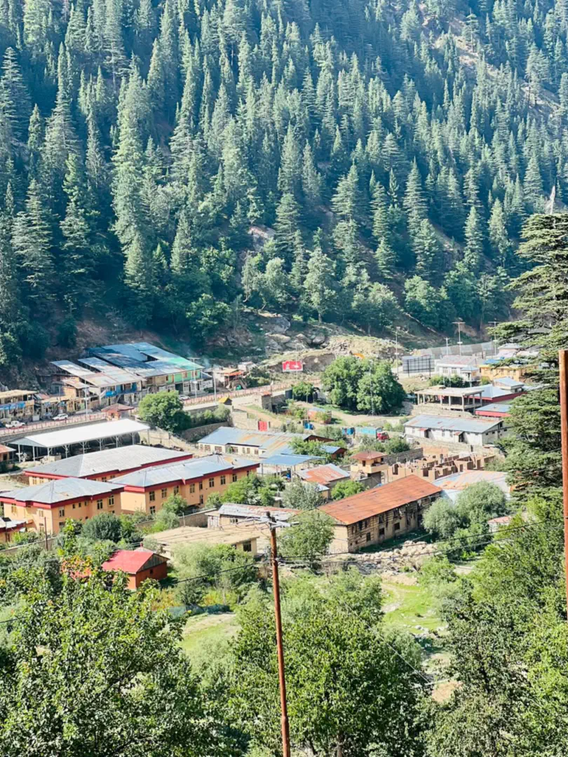
One province, ten valleys
Nuristan is divided into ten districts across the steep valleys of the eastern Hindu Kush. They differ in height, climate and language, and few travellers reach any of them. Each guide below covers a district's valleys, villages, speech and what it is known for.
Where the ten districts lie
Nuristan on the map, district by district. Parun, the capital, sits in the middle of the province with Kantiwa to its west, and Wama, Waygal and Want lie to the south towards the Pech; the Bashgal districts of Kamdesh and Bargi Matal run up the east against Chitral, and the Alingar districts of Nurgaram, Du Ab and Mandol form the west. Hover over or tap a district to see it at a glance, then open its guide.
The two newest districts
Older maps of Nuristan, and most of those online, show eight districts, the shape the province was given when its map was redrawn in 2004: Parun, Wama, Waygal, Nurgaram, Du Ab, Mandol, Kamdesh and Bargi Matal. Since then the authorities in Kabul have created two more. Kantiwa, the valley west of Parun, has been a district since about 2023, with its own district governor, and is counted apart from Parun in the 2024 population figures. In 2025 the old district of Want Waygal was split in two: Want in the lower valley, with the old centre at Want, and Waygal in the upper valley, with a new centre at Kawashma. The split was protested in Nuristan that summer, over where the new centre would sit and what the division would do to the valley. People in the valley now say Want district and Waygal district.
Neither new district has an official boundary yet, so we drew the two lines on our map ourselves. Districts in Nuristan are valleys, so each line follows the ridges between rivers. Kantiwa takes the whole valley of the Kantiwa river, down to where it meets the Parun. Want takes the lower Waygal valley from Shenigal up to the mouth of the Jamach stream, with Shenigal, Want itself, Kegal and Akun, Muldesh, Nishigram and Jamach, and Waygal keeps the valley from the Arans valley up. The government's 2014 map drew Nuristan's border across the valley above Want, leaving Shenigal, Want, Kegal and Akun in Kunar; our map places them in Want district. Every other line on the map is the government's own, from 2014. If an official boundary is published that differs from ours, we will redraw it.
The districts compared
Where each district sits, roughly how many people live there, and what it is known for. Population figures are 2024 estimates and are rounded.
| District | Setting | Population | Known for |
|---|---|---|---|
| Parun | High Parun valley, eastern Hindu Kush | About 11,400 (2024 estimate, excluding Kantiwa) | Snow peaks, summer pastures, seat of government |
| Waygal | Southern Nuristan, the upper Waygal valley | About 19,700 (2024 estimate, excluding Want) | Woodcarving, forests, hillside villages |
| Kamdesh | Eastern Nuristan, the lower and middle Bashgal valley | About 30,600 (2024 estimate) | Tiered timber villages, Robertson's base, Paprok tourmaline |
| Bargi Matal | North-east Nuristan, the upper Bashgal (Landai Sin) valley | About 18,800 (2024 estimate) | Kata fort villages, the Pachigram gem field, snow leopards |
| Wama | Central Nuristan, the first stretch of the Pech below Parun | About 13,400 (2024 estimate) | Walnut trees, Achanu pomegranates, the road to Parun |
| Nurgaram | South-west Nuristan, the lower Alingar valley | About 39,100 (2024 estimate), the largest | The doorway from Laghman, Korgal tourmaline |
| Mandol | Western Nuristan, the Alingar headwaters | About 23,900 (2024 estimate) | Forest country, river gorges, rug weaving |
| Du Ab | Western Nuristan, the head of the Alingar | About 9,500 (2024 estimate) | The Mawi and Kolum kunzite mines |
| Want | Lower Waygal valley, above Nangalam | About 4,000 (2024 estimate) | The old district centre, the battle of 2008, terraces above the river |
| Kantiwa | Central Nuristan, the valley west of Parun | About 5,000 (2024 estimate) | Kunzite and tourmaline, high pastures, the pass to Badakhshan |
Where the Hindu Kush meets the forest
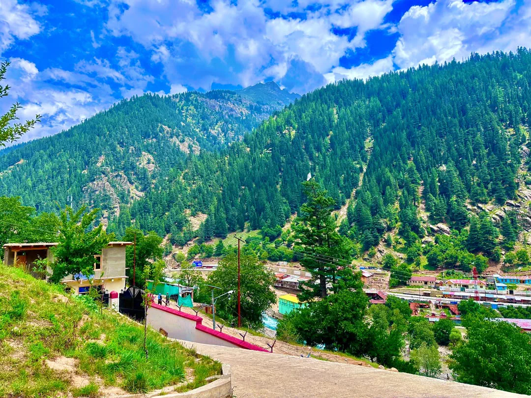
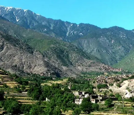
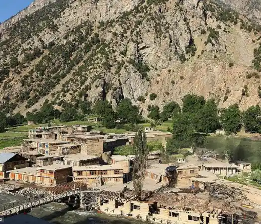
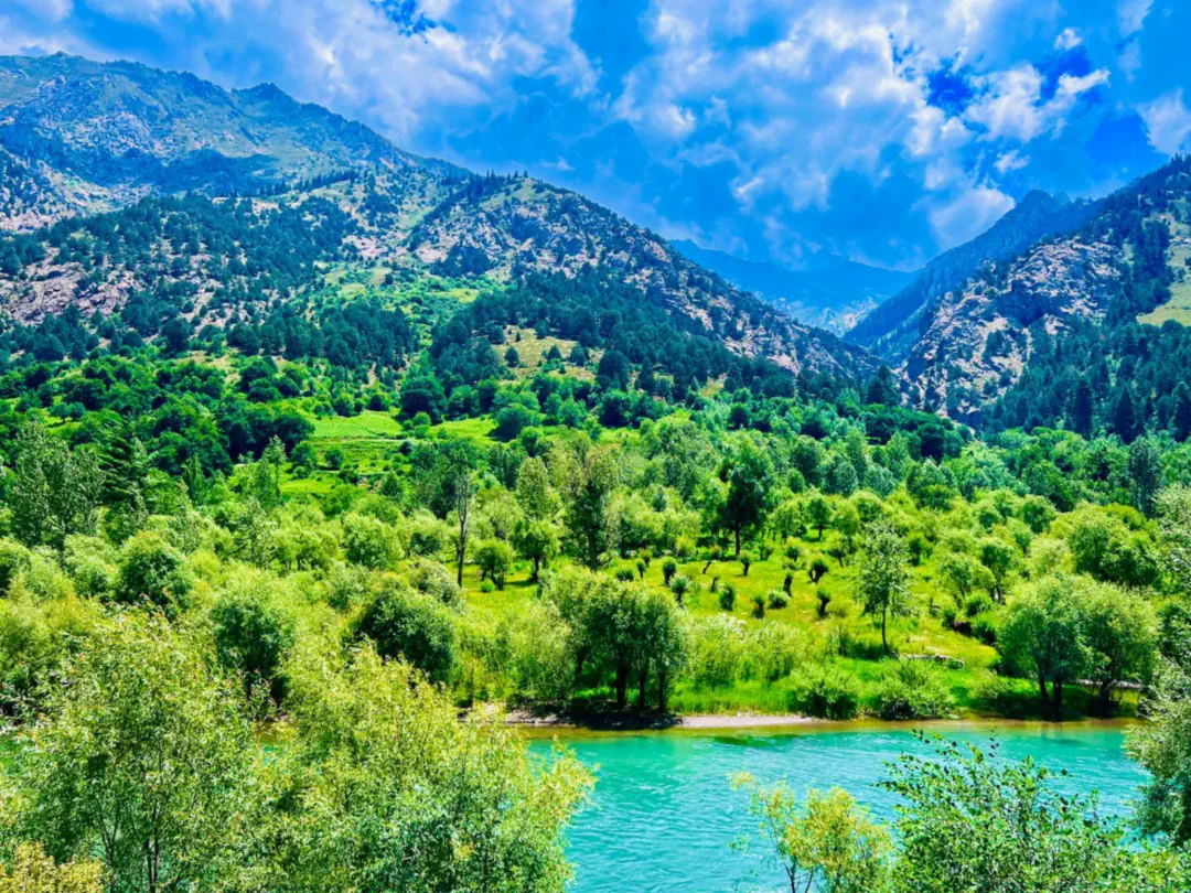
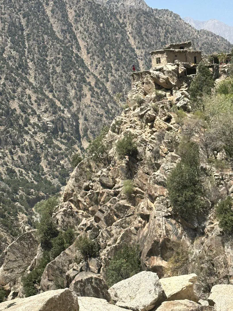
Nuristan's terrain is dramatic and varied: glacial peaks give way to dense cedar and pine forest, then to terraced fields and orchards along fast mountain rivers. It is this rugged geography that has shaped the province's distinct culture and protected its way of life for centuries.
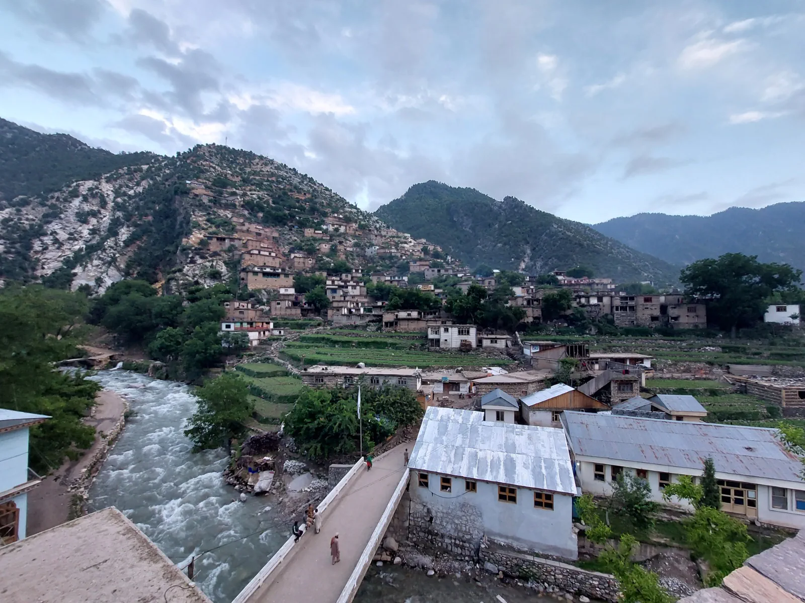
From the warm, lower valleys of Nurgaram to the high, remote country around Bargi Matal, travelling between the districts reveals just how much variety this small province holds. Each valley also speaks a little differently: the languages guide explains why.
Questions about the districts
How many districts does Nuristan have?
Ten: Parun, Kantiwa, Waygal, Want, Wama, Kamdesh, Bargi Matal, Nurgaram, Mandol and Du Ab. Older maps show eight, the shape fixed when the map was redrawn in 2004. Kantiwa, west of Parun, became a district of its own around 2023, and in 2025 Want Waygal was split into Want, the lower valley, and Waygal, the upper. No official boundary has been published for either, so the lines for those two on our map are our own.
What is the capital of Nuristan?
Parun, in the high Parun valley. The provincial offices are in the village of Pashki.
Which is the largest district of Nuristan?
Nurgaram, in the south-west, with about 39,000 people on the 2024 estimate. The smallest are the two newest, Want with about 4,000 and Kantiwa with about 5,000.
Which districts are the most remote?
Bargi Matal at the head of the Bashgal valley and Du Ab in the far west. Both are reached by long mountain roads and see few visitors.
How do you get to the districts of Nuristan?
By three river roads: up the Pech from Asadabad for Wama, Want, Waygal, Parun and Kantiwa; up the Kunar and then the Bashgal for Kamdesh and Bargi Matal; and up the Alingar from Laghman for Nurgaram, Mandol and Du Ab.
Plan your Nuristan journey
Ready to plan a visit, source Nuristani products, or discuss an investment? Your message goes to Obaid, who is from Nuristan, and his team in Afghanistan and the UK. We reply to every message.