Waygal
A green southern valley that gave its name to a language, with carving in its bones.
About Waygal
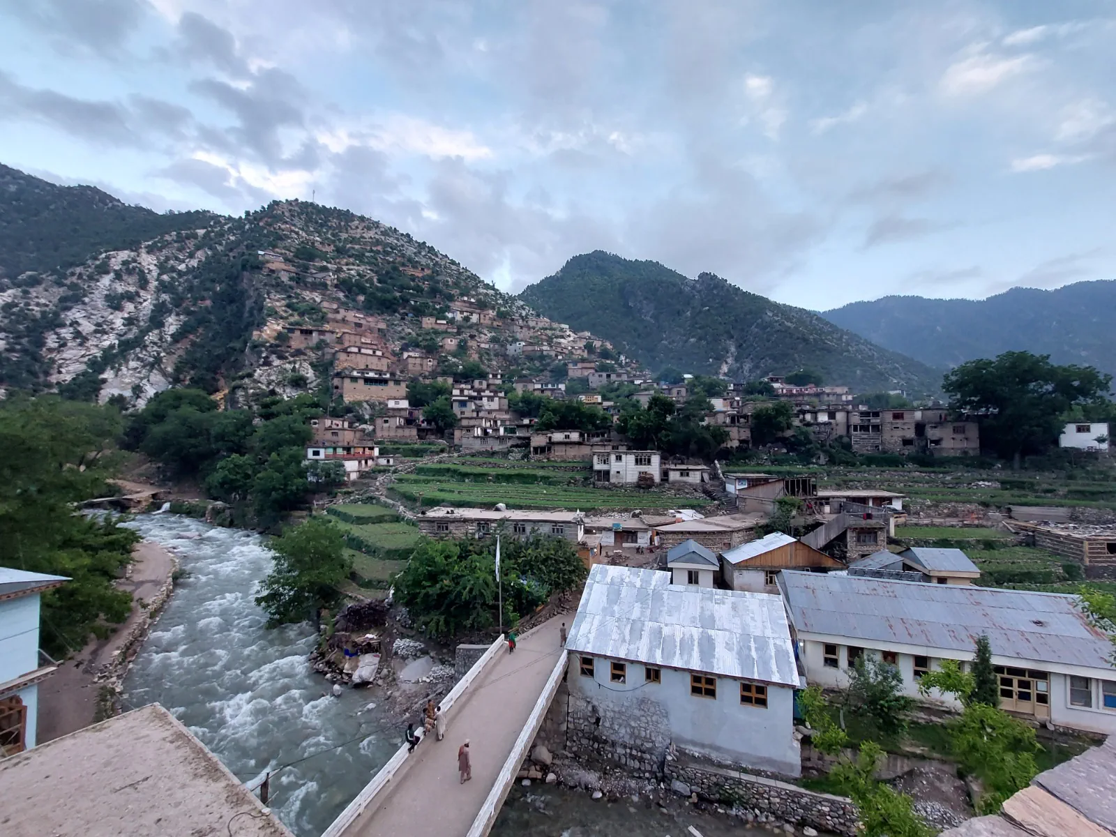
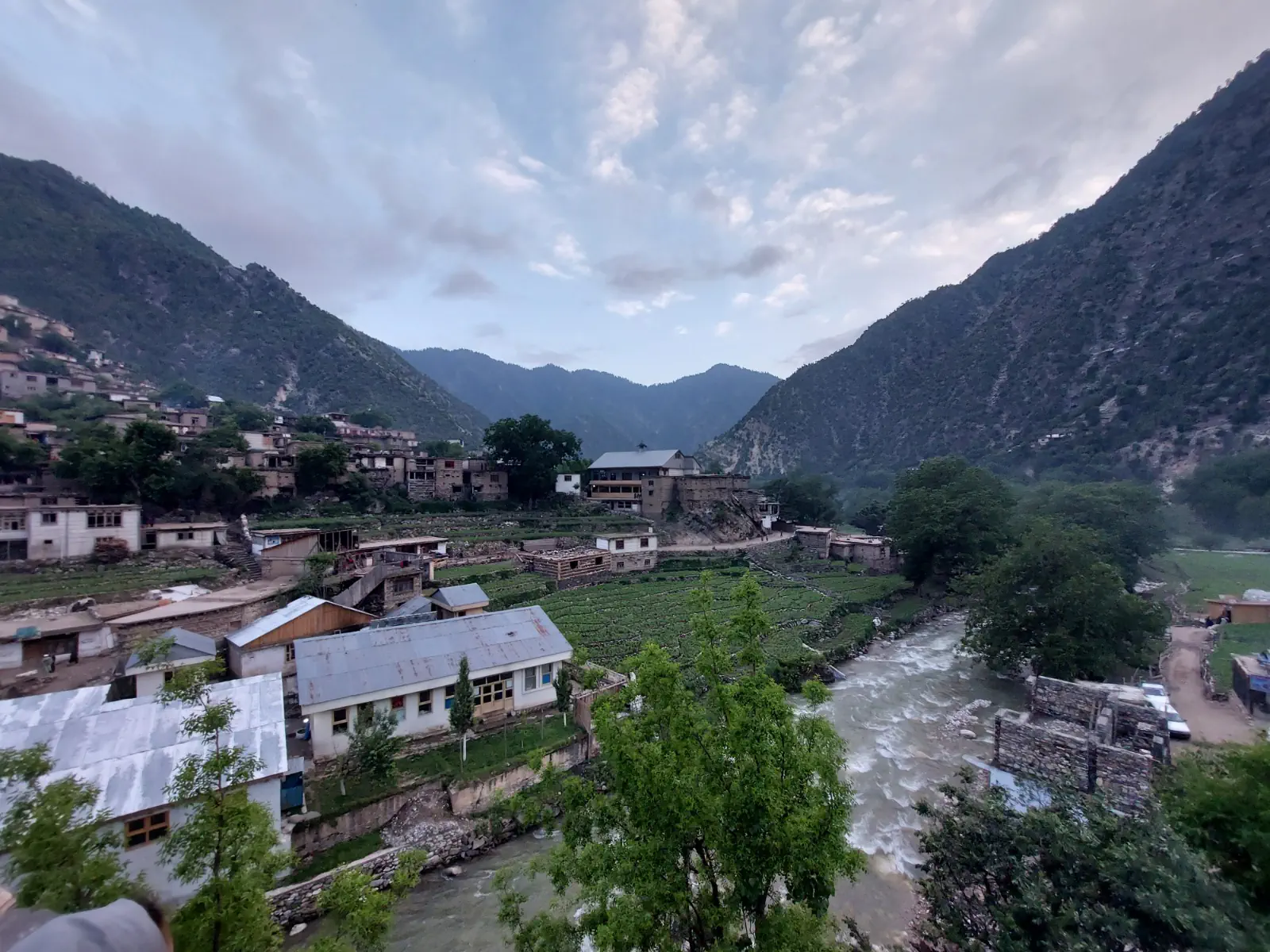
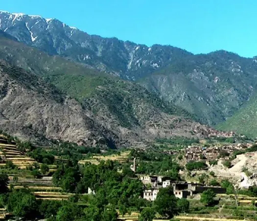
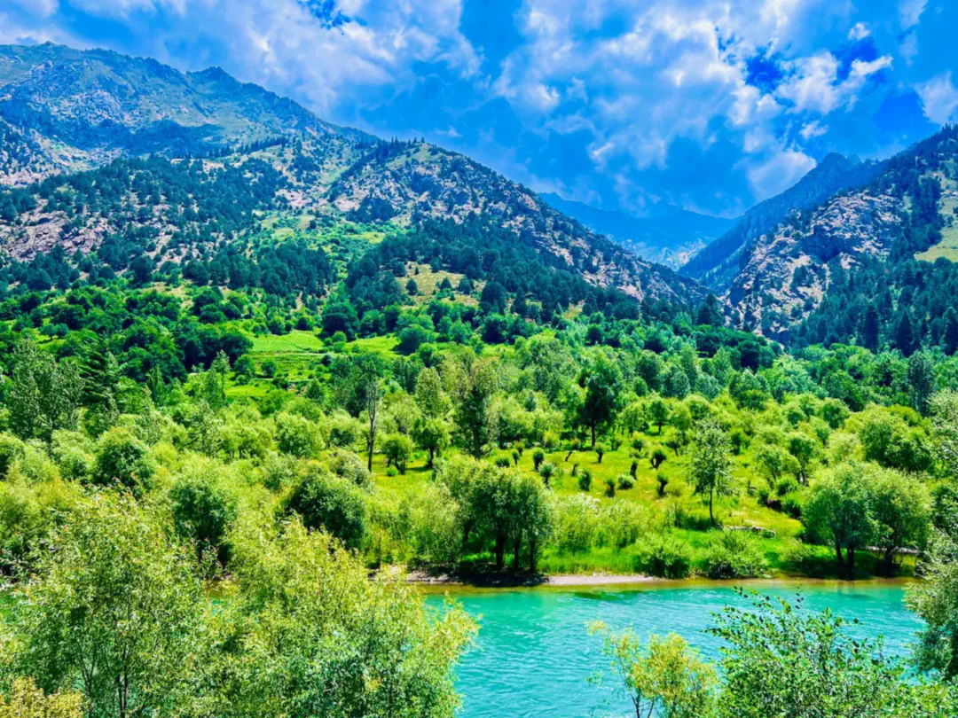
Waygal is one of Nuristan's green southern valleys. The Waygal river runs the length of the district and on through Want to join the Pech, and villages such as Waygal itself and Ameshdesh sit high on the valley sides. The district gives its name to Waygali-ala, the language of the valley, which linguists call Kalasha-ala, spoken here alongside the local dialects that shift from one village to the next.
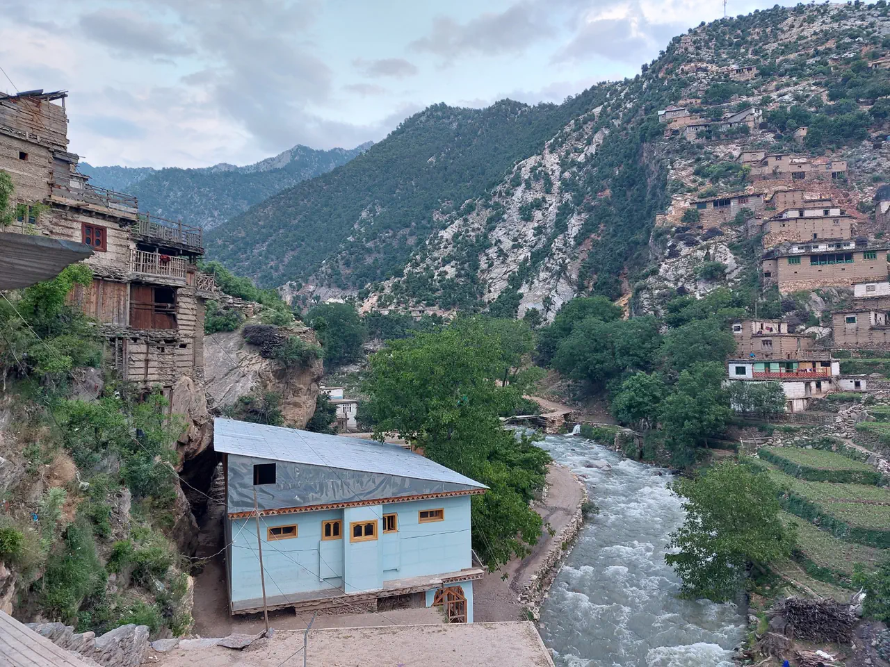
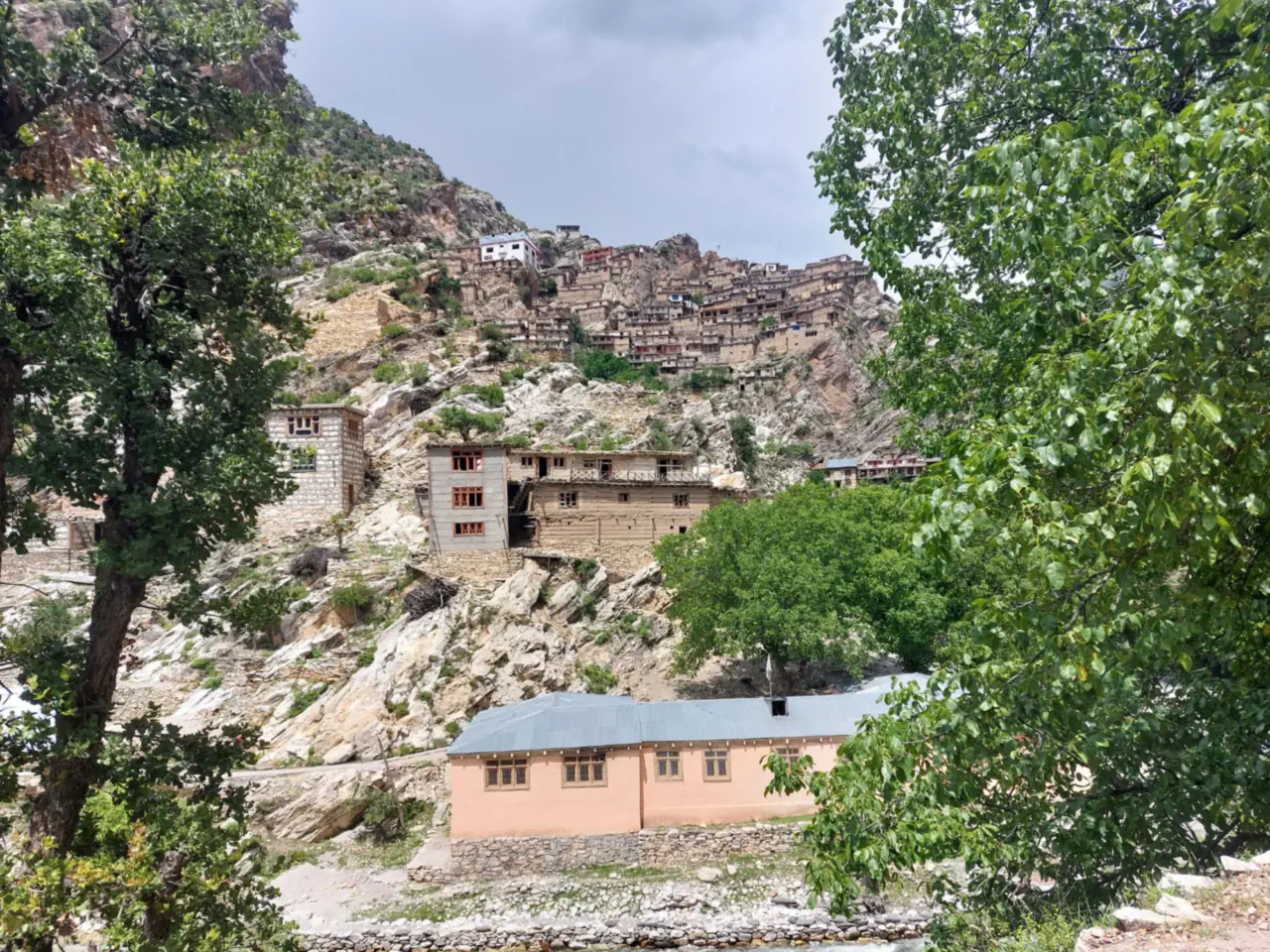
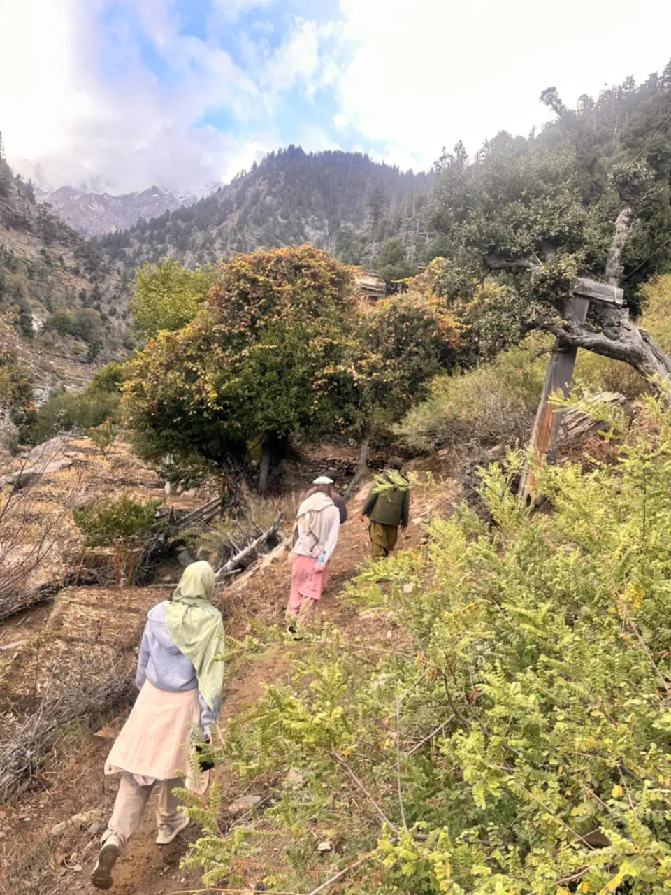
The carving Nuristan is famous for, its worked beams, columns and household pieces, runs deep in these villages, where houses climb the slopes in tiers and the forests supply the cedar the carvers work.
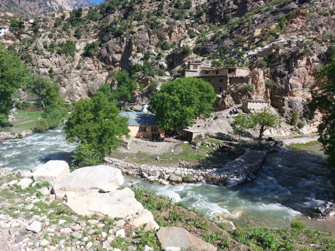
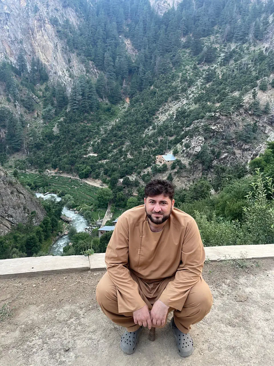
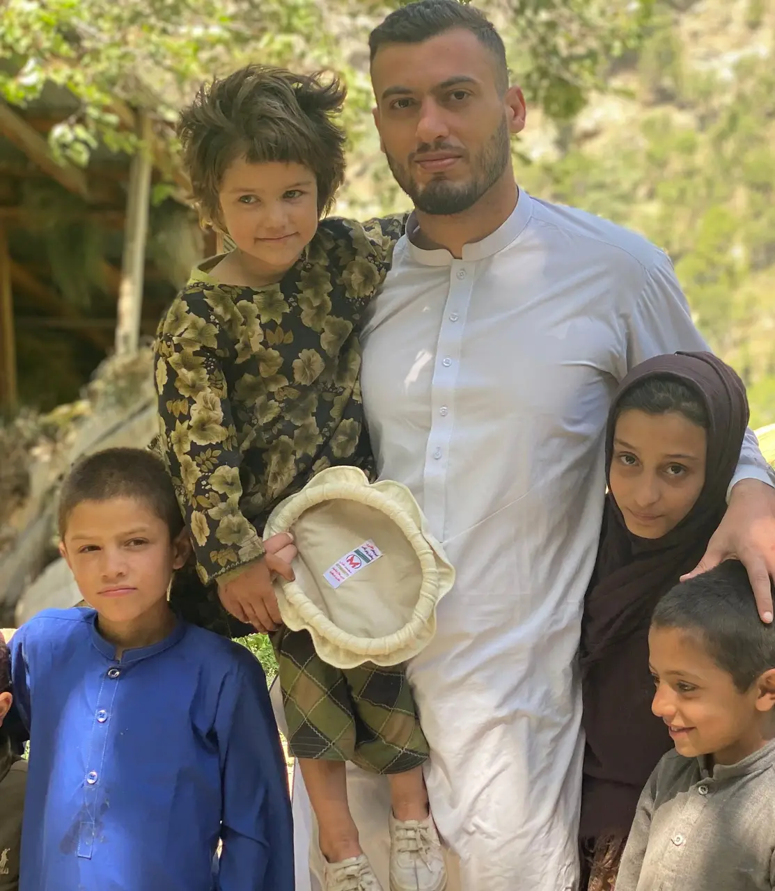
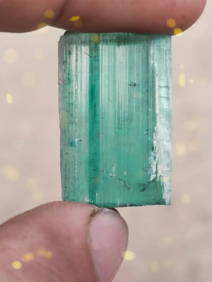
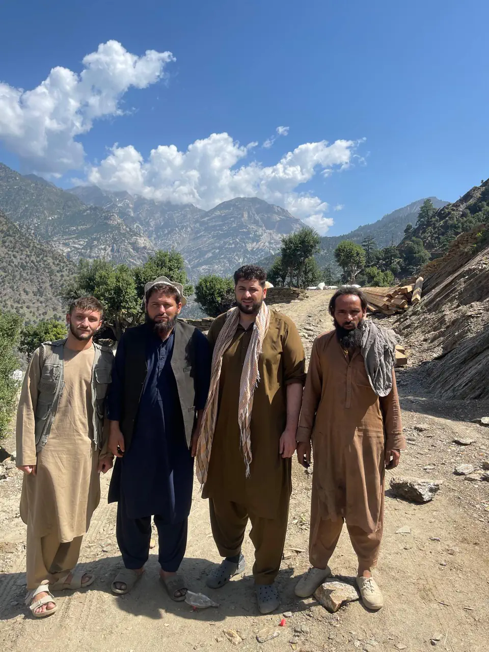
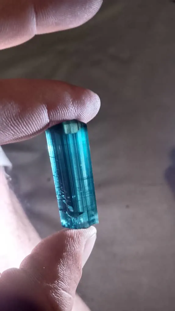
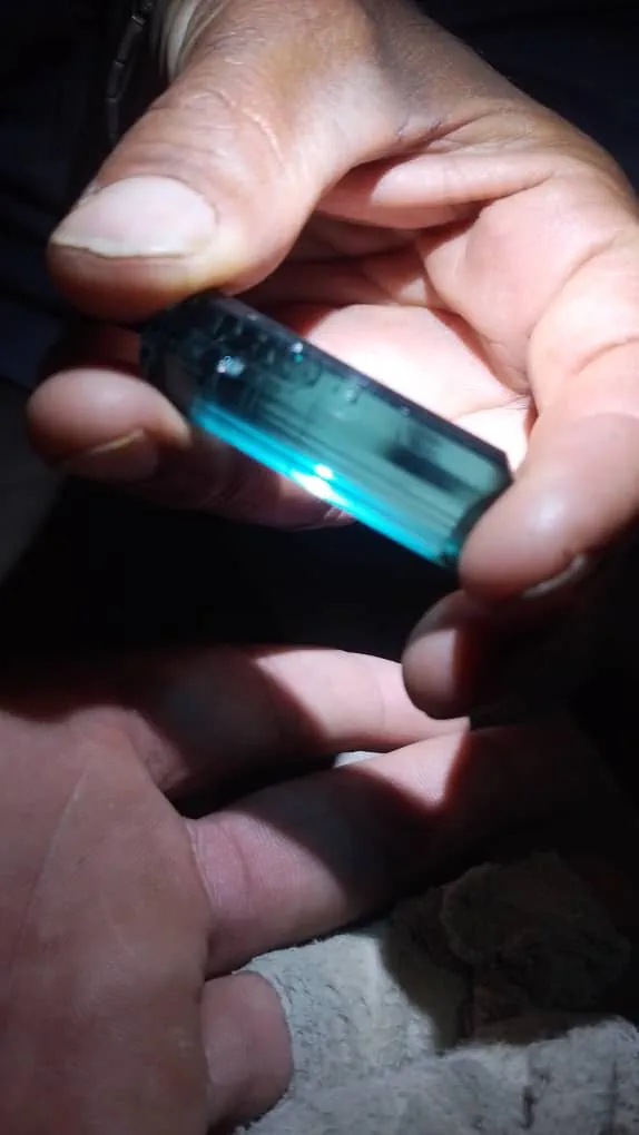
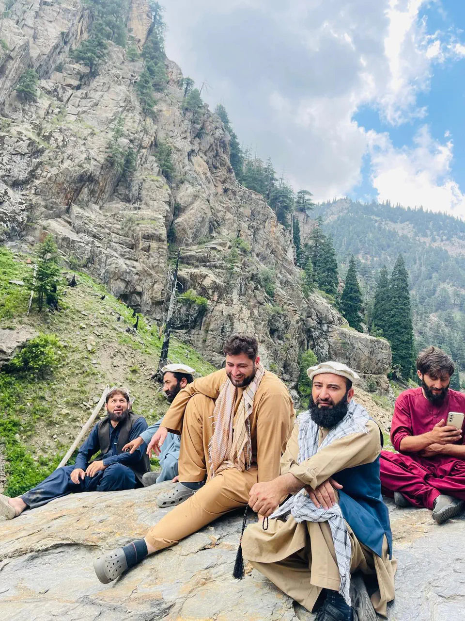
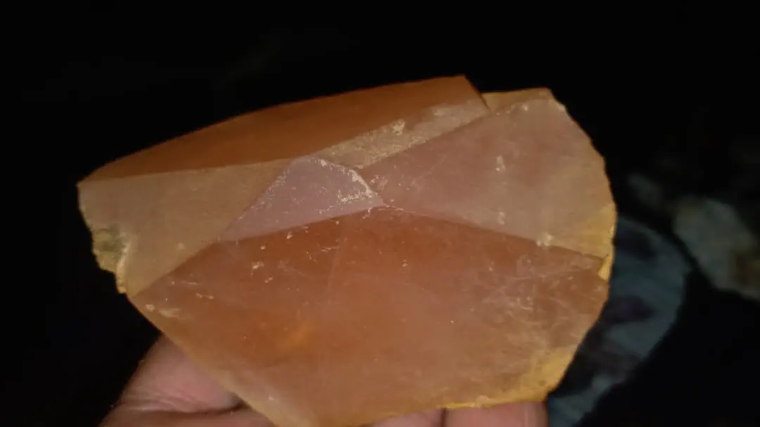
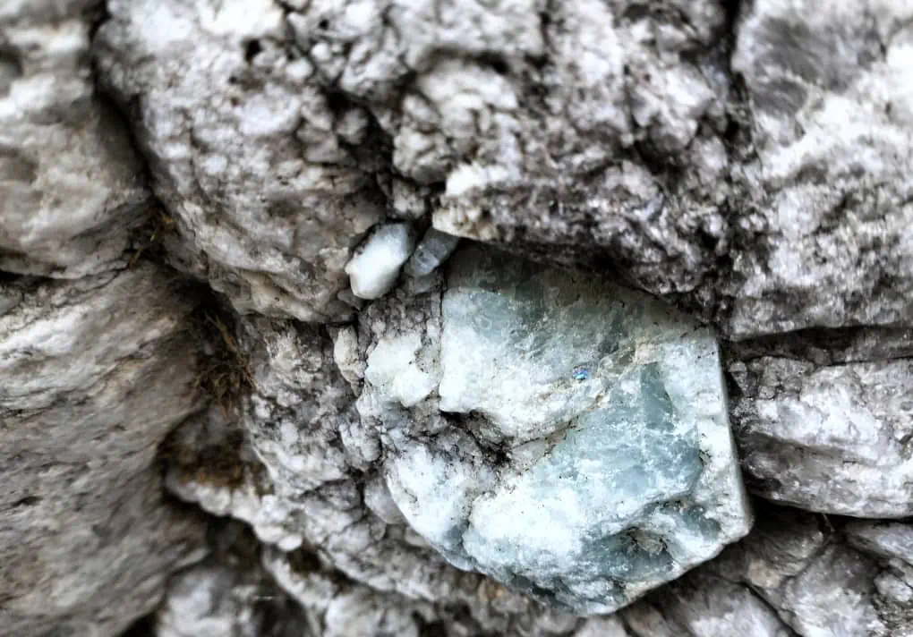
Side valleys such as Sewketra, Arans and Yinshaw run up from the main river, each with its own villages, fields and forest, and the rock of Sewketra gives up gemstones: the blue-green tourmaline and the peach morganite photographed below both came out of it, and aquamarine still sits in its rock in a field nobody has yet worked. Our director, Zabiullah Amiri, is from this district, and most of the photographs below are his.
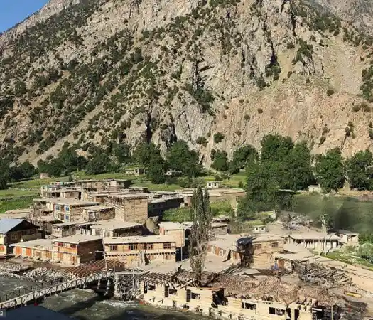
The district's centre sits on the Waygal river: a bridge, the mosque, shops, houses and a clinic on the valley floor, with the old village tiered up the rock above it.
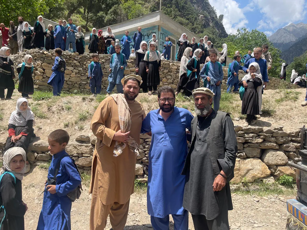
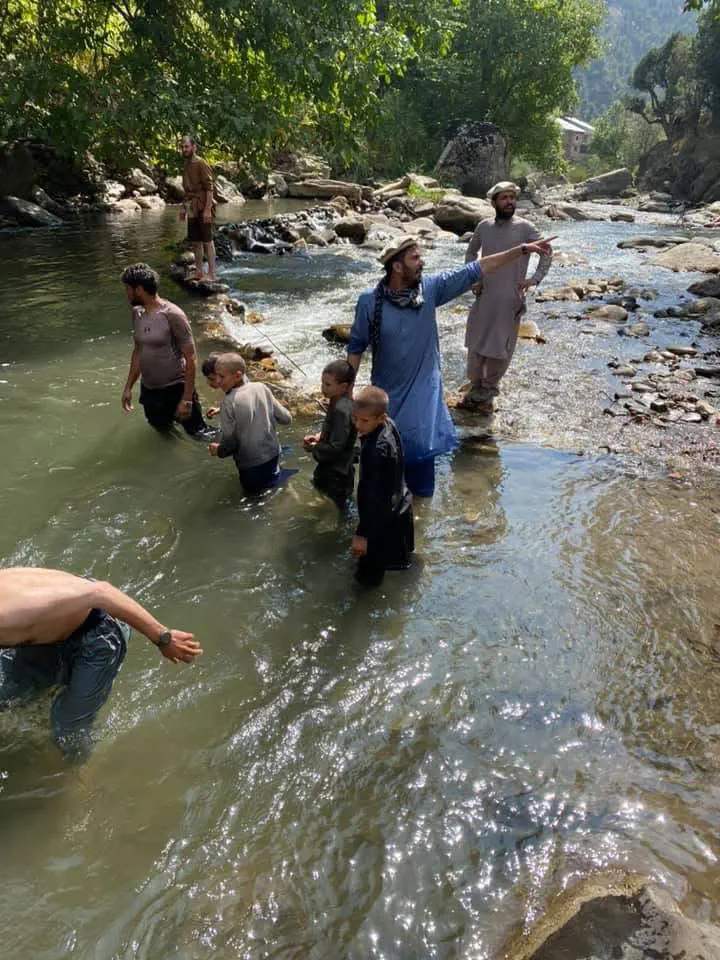
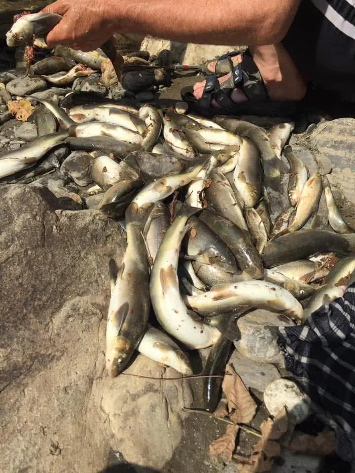
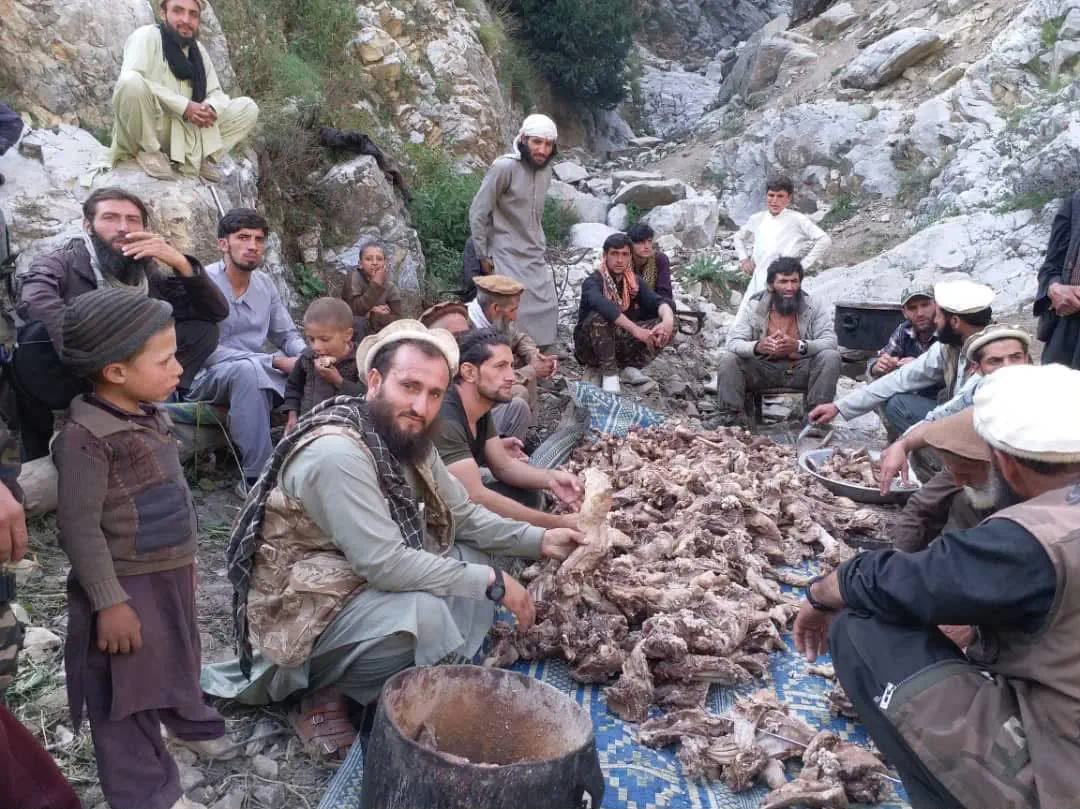
The tradition of giving is alive here: for a gathering, two or three goats are slaughtered and the meat cooked to feed the whole tribe. The main river is fished too, by men and boys together.
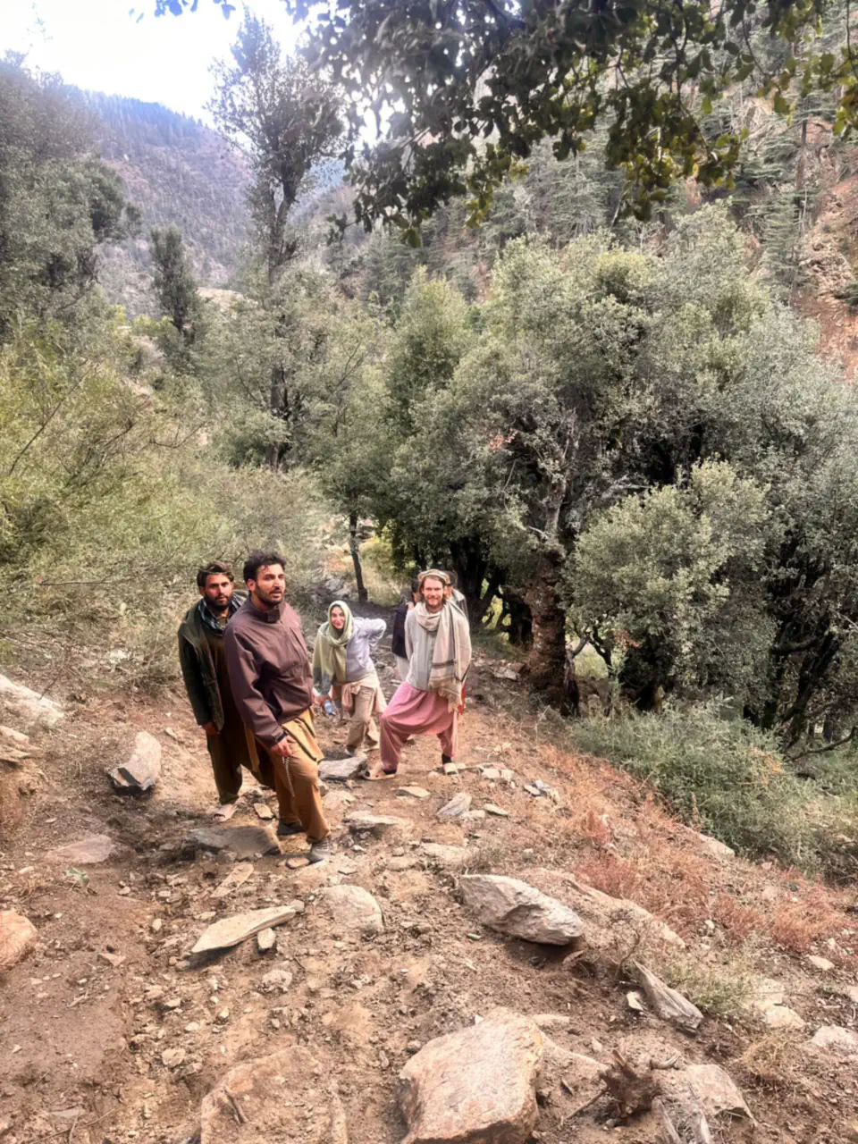
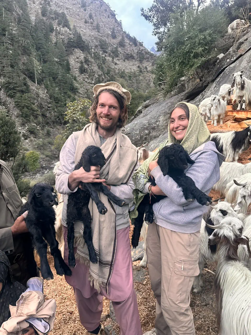
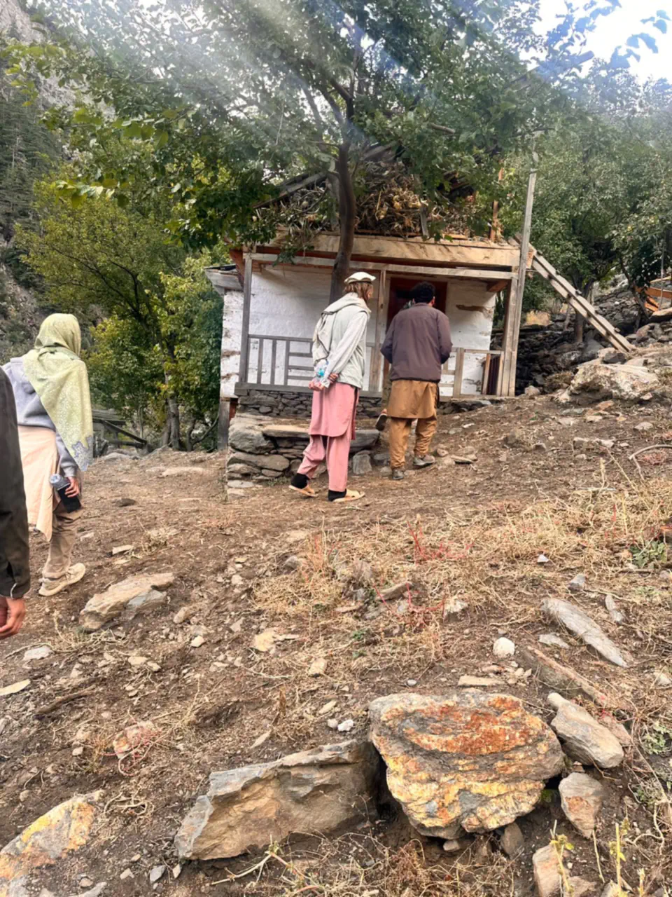
Travellers who turn up are looked after. When a couple from the Netherlands arrived in the Sewketra valley unannounced, Abdulrahman Chonish, who leads our tours, happened to be there, gave them Nuristani hospitality and showed them around.
Waygal rewards unhurried travel: village to village along the valley, with the forest above and the river below. As everywhere in Nuristan, a local guide opens doors that a map cannot.
The district's official name was Want Waygal until 2025, after its centre at Want, the village on the lower river that the world knows from the battle of July 2008. In 2025 the authorities split it in two: Want, the lower valley with the old centre, and Waygal, the upper valley with a centre of its own. The decision was protested in Nuristan that summer, over where the new centre would sit and what a line through the valley would do to its unity, and the centre was settled only after three rounds of visits by delegations from Kabul, at Kawashma, between the villages of Puch and Akchuri. People in the valley now say Want district and Waygal district, and the 2024 population figure above already counts them apart. No official boundary has been published yet, so the line on our map is our own: Waygal takes everything from the Arans valley up, and Want the lower valley below the mouth of the Jamach stream.
- Setting
- Southern Nuristan, the upper Waygal valley
- River
- The Waygal, flowing south through Want to the Pech
- Since 2025
- The upper valley; the lower valley is Want district
- Centre
- Kawashma, between Puch and Akchuri
- Population
- About 19,700 (2024 estimate, excluding Want)
- Language
- Waygali-ala (Kalasha-ala in the books), with local dialects
- Known for
- Woodcarving, forests, hillside villages
Other districts of Nuristan
Plan your Nuristan journey
Ready to plan a visit, source Nuristani products, or discuss an investment? Your message goes to Obaid, who is from Nuristan, and his team in Afghanistan and the UK. We reply to every message.